Installation
To install the plugin, open the “Plugins -> Manage and Install Plugins…” menu in QGIS. Currently, the plugin is available as a zip file that you can download from here. Once downloaded, choose “Install from ZIP” to install the plugin.
Once installed, the plugin is accessible from the toolbar: 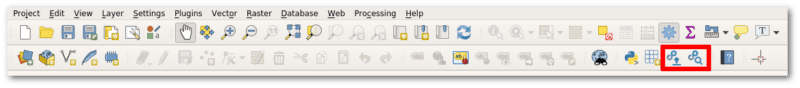
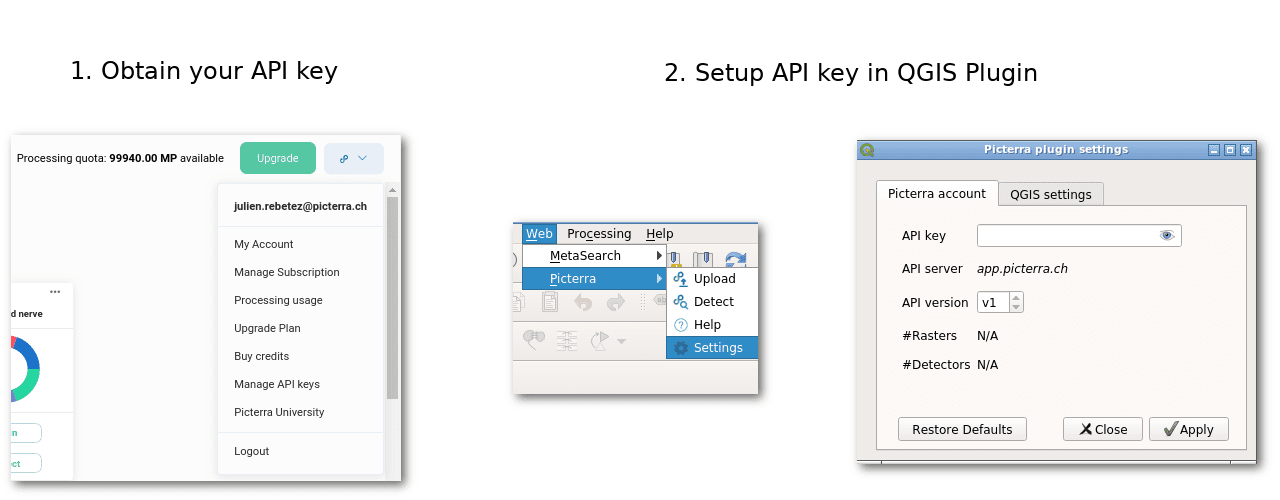
After installation, you need to set your Picterra API key in the plugin settings. To get your API key, log in on the platform and look for “Manage API keys” in the user menu. You can then enter this API key in the plugin settings in QGIS.
Uploading images
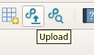
To upload an image to Picterra, select the “Picterra Upload” tool from the toolbar
This will open a popup where you can select the file to upload and upload it: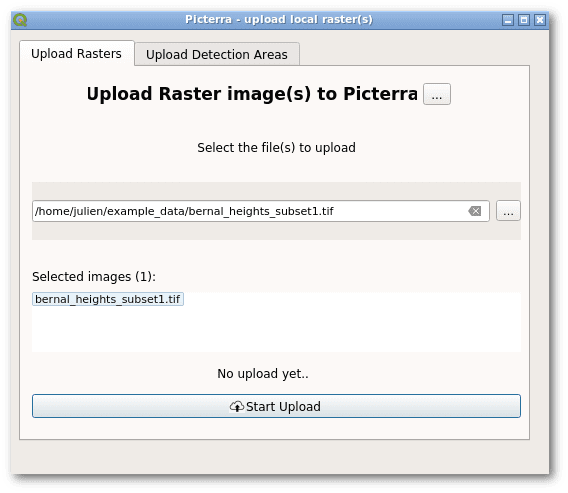
Once the upload is finished, if you log in on Picterra, you will find the image in your “Picterra API Folder” folder.
Running Detectors
The main advantage of the Picterra QGIS plugin is that it allows you to run detectors directly from QGIS and get the results back. If you are using QGIS for the rest of your workflow, this can be a real timesaver.
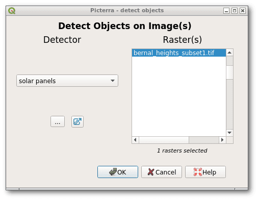
To run a detector, select the “Picterra Detect” tool from the toolbar:

You can then select a detector that you previously trained on Picterra and the image you just uploaded:
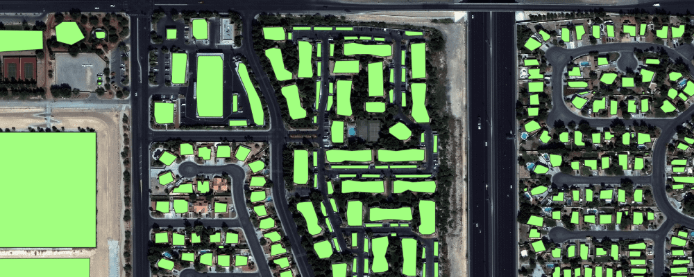
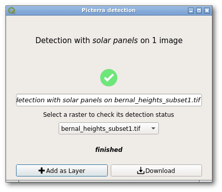
Once the detector has finished running, you can add the detections to your project as a new layer:
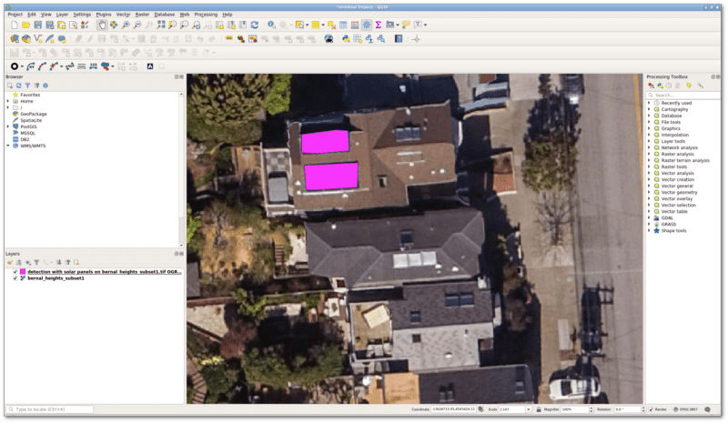
And there you have your detections as a QGIS vector layer !
The plugin is still in early development stage, so we would be happy to hear your feedback ! Get it here and let us know what you think !