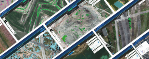
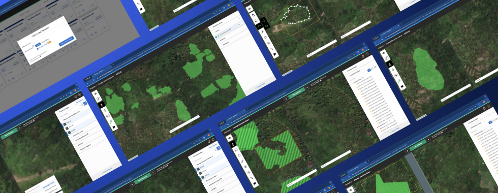
Lausanne, Switzerland – December 3, 2024 – Picterra, a leader in GeoAI, and Planet Labs PBC (NYSE:PL), a leading provider of Earth data, have announced a strategic partnership to deliver Picterra’s advanced geospatial solutions to its customers. Building on a history of collaborative projects, this partnership expands the use of Planet’s high-frequency satellite data combined with Picterra’s GeoAI platform to provide a dynamic resource for actionable data-driven decisions, such as sustainability monitoring.
The partnership reflects both organizations’ dedication to innovation and environmental stewardship. The two companies already have a history of collaboration on several projects, combining satellite data with artificial intelligence for forestry monitoring and data-driven investigations for critical global issues. In Bolivia, forest conditions were analyzed for Bolivia’s National Rural Agency (INRA) using Picterra’s GeoAI platform with PlanetScope data, accessed via Picterra’s imagery server streaming capability, supported by Marvich AI and CIVIS.
Another achievement involved publications with the Swedish television broadcasting company SVT and the New York Times using Planet data and Picterra’s GeoAI for investigative journalism. The New York Times investigation was recognized with a Pulitzer Prize for its innovative use of artificial intelligence in journalism.
About Picterra
Picterra, a leading Swiss GeoAI company, unlocks a greater understanding of the physical world with insights from satellite, drone, and aerial imagery. Picterra brings innovative, impactful, and accessible GeoAI technology to every enterprise. Picterra has worked with over 100 global organizations to solve some of the world’s most complex challenges.
For more, visit www.picterra.ch, follow them on LinkedIn, or email contact@picterra.ch.


