FMCG & commodities
GeoAI for FMCG and commodities
Elevating sustainability, protecting biodiversity, and more
Analyzing farming practices through satellite and aerial imagery presents an opportunity to spot environmental risks early. It strengthens the collaboration between suppliers and producers through increased productivity and progress on sustainability commitments.
Application areas
Strengthening supply chain oversight and fostering sustainable sourcing
Safeguarding biodiversity through precision monitoring & reporting on biodiversity KPIs
Promoting regenerative agriculture
Analyzing markets and competition
EUDR compliance
Get ahead of the game with EUDR compliance
Leverage Picterra’s geospatial AI for proactive EUDR risk assessment
Our technology
With Picterra’s no-code platform, you can autonomously build geospatial AI models at scale up to 95% faster, driving sustainability, transparency, and accountability in FMCG and commodities
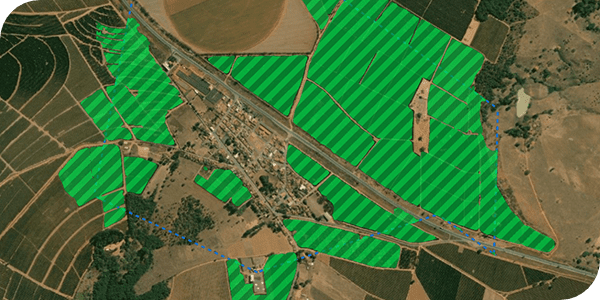
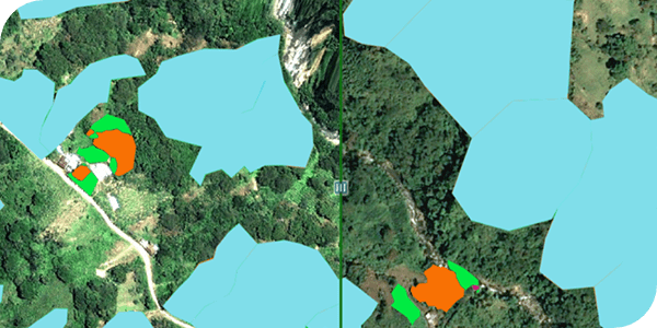
Parcels mapping and digitalization
Crops growth and resilience monitoring
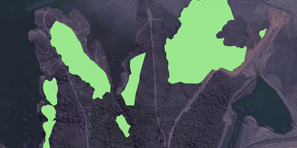
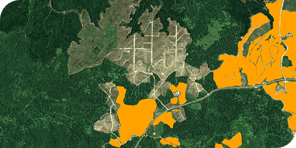
Timber harvest plots monitoring
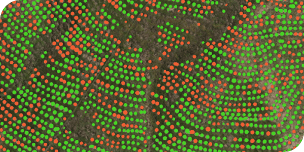
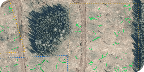
Tree cover - Shade trees and trees diversity classification
Cover crops monitoring
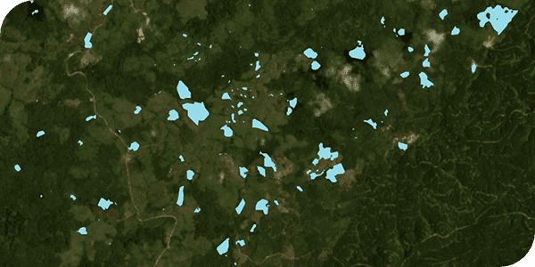
Deforestation assessment for sourcing locations
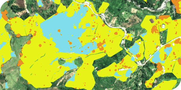
Biodiversity KPIs monitoring
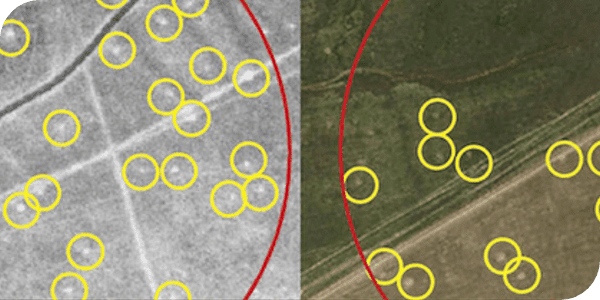
Endangered species monitoring