


The Swiss Federal Railways explores geospatial AI for railway sustainability
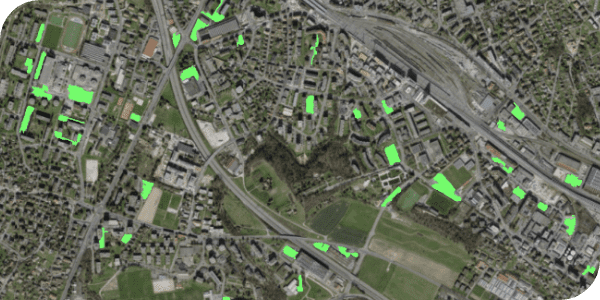
The Swiss Federal Railways (known as SBB/CFF/FFS depending on the local language) operates one of the most heavily used railway networks globally. Famous for offering high-quality service, SBB transports 1.18 million passengers and 210,000 tons of cargo over 3,000 kilometers…