Mapping of your supply chain sourcing locations and data quality check
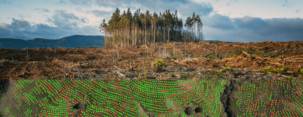
Typically geolocation data in supply chains such as farm plots, millers, and processing locations can be difficult and costly to obtain, often incomplete, relying on historical records or information distributed across many supply chain partners or simply not available at all. We facilitate the digitalization of the sourcing parcels, intermediate storage sites, and processing facilities, as well as perform data quality verification thus enabling the creation of a comprehensive digital footprint for your supply chain.

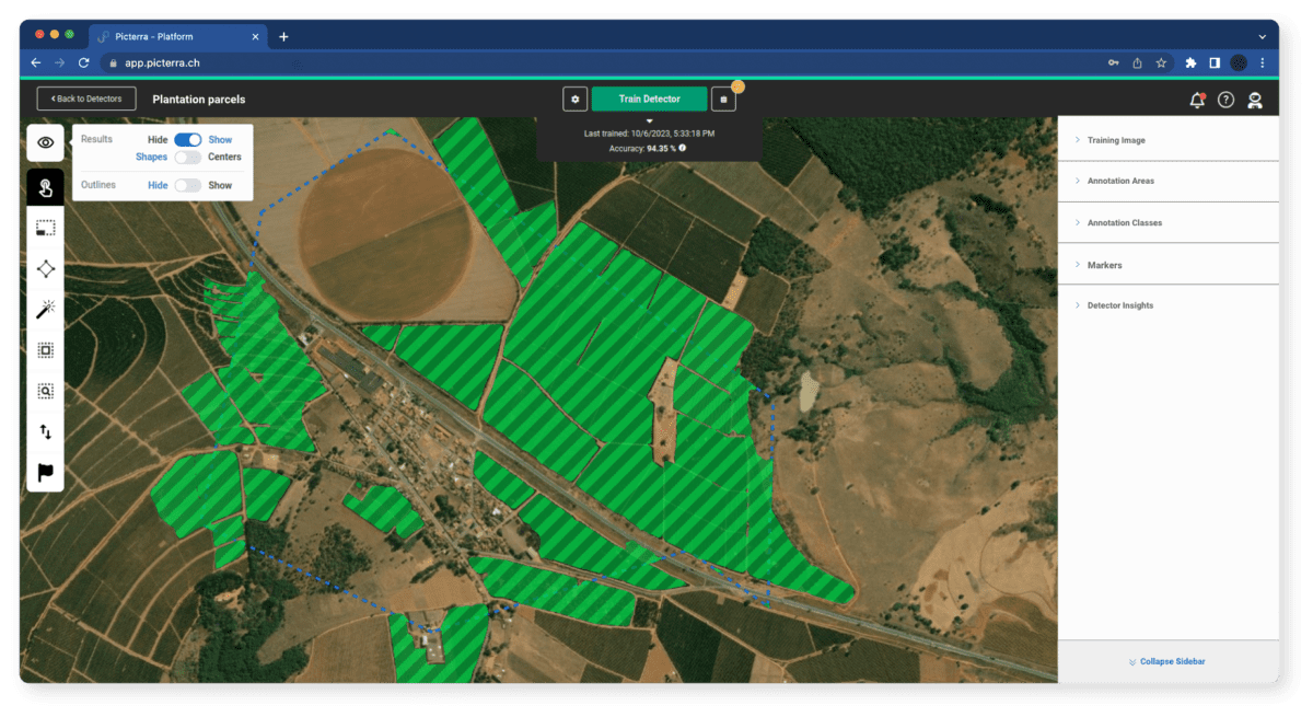
Rigorous supplier data quality verification
The verification of geolocation data (GPS points and polygons) is a critical step in ensuring the precision and reliability of spatial data vital to the due diligence process. Each data point added to the database undergoes a meticulous quality assessment, rigorously tested to ensure accuracy and compliance with regulatory standards. Our robust methodology includes the implementation of over 30 meticulously calibrated stress tests, assigning a score to each farm record. Results are systematically categorized based on risk levels (low, medium, high), providing a comprehensive overview of data quality. As suppliers contribute updates to the database, Picterra conducts thorough verifications, cleaning, and maintenance activities to uphold a consistently high-quality database.
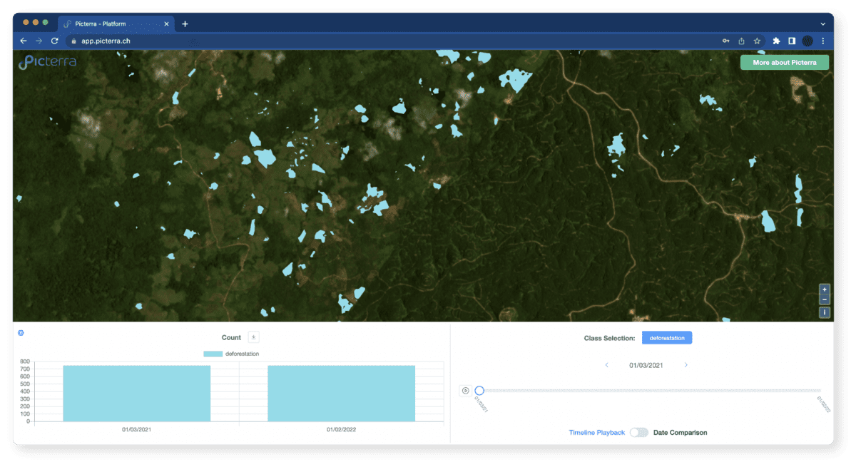
Deforestation risk assessment
We leverage advanced geospatial AI technology to review and analyze your digitalized sourcing locations against approved deforestation maps. Where necessary, we complement the data with high-temporal and spatial deforestation information. The goal? Drawing insights into the deforestation status of your analyzed sourcing parcels, meeting the requirements of the EUDR regulation.