Geospatial MLOps
As DevOps did for IT, geospatial MLOps revolutionizes the Earth Observation industry
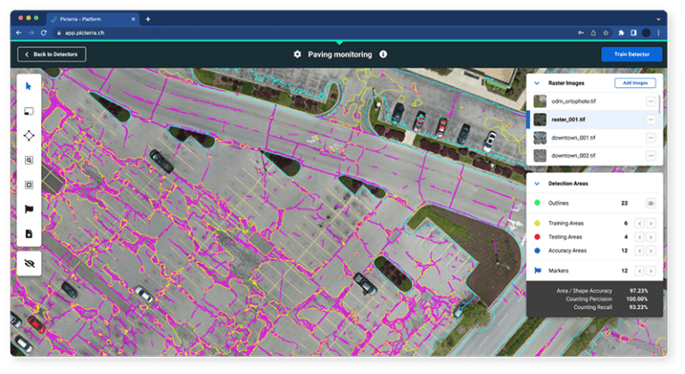
Geospatial MLOps
What is geospatial MLOps?
Geospatial MLOps is a set of practices that aims to deploy and maintain machine learning models for Earth Observation imagery in production reliably and efficiently. Consider it a set of practices and guiding principles that allow data scientists, DevOps, and machine learning engineers to transfer the model to production systems.

Why geospatial MLOps
Why is geospatial MLOps important to your business?
Odds are you’re feeling the pressure to respond to the rising demand for geospatial intelligence. But you’re likely lacking scalable infrastructure and internal resources to bring models to the market fast enough.
With MLOps, your data science team can bring models into production in days rather than months. It’s up to 95% faster than traditional methods!
With a framework for maintaining and adapting the models, operational and deep learning teams can easily collaborate as the underlying data or project requirements change.
The first thing that stands out is how quickly we can perform and implement a successful PoC. Traditional machine learning has several phases of development; requirements, feasibility, processing, calibration and then finding the best fit analytics for a specific use case. In the past this would usually take between 2 to 3 months but by using Picterra we are able to go into production after just 1 month, saving almost 60% of time.
Earth Observation Consultant at Cyient


guide
Don’t stop at operationalizing your geospatial practice. It’s time to monetize.
Top performers in the geospatial industry are using geospatial MLOps to develop new revenue streams and drive more value for existing clients. In our new guide, we outline the process to follow to maximize your organization’s machine learning and GIS investments – starting right now.
Download the guide to learn how to get started.
Benefits
How geospatial MLOps benefit teams
Meet market demand
Boost the bottom line
Improve quality


assessment
Ready to assess your organization’s efforts?
Our unique self-assessment helps you quickly identify your organization’s strengths and weaknesses across the three key stages of MLOps success, and understand how you can close the gap to reap more benefits.
It only takes 5 minutes to complete but the results will help you shape your geospatial MLOps practices for 2022 and beyond.