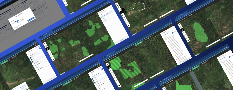
Mining
Enhance productivity, maintain compliance and timely accurate reporting, reduce costs, and prioritize safety at every stage of the mining life cycle with Picterra’s geospatial solutions.
Satellite, aerial, or drone data; optical RGB, multispectral, SAR, NIR, NDVI, thermal, height maps
Build your own custom AI models to detect any object, change, or pattern
Interactive web reports, monitoring reports, API, ESRI ArcGIS Pro, and Safe FME integration


Enhance productivity, maintain compliance and timely accurate reporting, reduce costs, and prioritize safety at every stage of the mining life cycle with Picterra’s geospatial solutions.

Ensure supply chain traceability and integrity with comprehensive mapping and data digitization, meticulous monitoring of sustainability practices, and early detection, and assessment of environmental risks.

Simplify the complexity of obtaining and verifying accurate geolocation data for your supply chain and efficiently assess deforestation risks for EUDR compliance.