Country scale detection. How SEGES detected 26.000 slurry tanks over Denmark in a few hours using Picterra to assess ammonia emission.
In late 2019, the Ministry of Environment in Denmark urgently needed to calculate the total emission of ammonia. The best way of doing this was getting the total number of slurry tanks and information on the coverage of the tanks, as the emission factors are lower for covered tanks than from uncovered tanks. As there are no official statistics on slurry tanks, the ministry applied to SEGES, which is a part of the agricultural advisory service owned by the Danish farmers. However, even with broad knowledge and access to agricultural data, counting the number of slurry tanks located in 34’000 farms spread over a territory of 42,933 km2 was impossible to be done manually in a reasonable time.
Country scale detection – 34,000 farms in Denmark
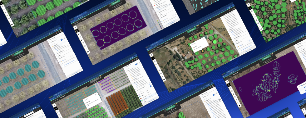
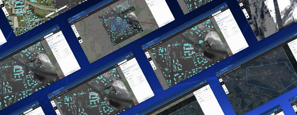
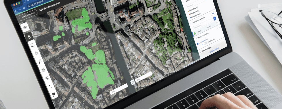
SEGES needed a tool that will allow them to automate the country scale detection as much as possible. The method required was a combination of machine learning with existing agricultural GIS-databases. Their choice fell on Picterra, a cloud-based geospatial platform that automates the analysis of satellite and aerial imagery, enabling users to identify objects and patterns (road cracks, damaged roofs, etc.) at scale, anywhere on Earth.
SEGES had two sources of data for this project
- A WMS imagery server covering the whole of Denmark at 25 cm of ground resolution.
- The geolocation of the 34.000 farms to be investigated.
Using these two sources, SEGES has worked with Picterra to build a slurry tanks custom detector and to run it over the whole country.
![]()
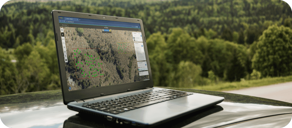
First, SEGES defined a number of training areas and annotated some examples of slurry tanks so that Picterra’s machine learning model could learn to recognize those. Slurry tanks are round-shaped objects with some variety in their appearance (they can be filled or empty and they can have a roof or not). They’re located next to farms, that’s why circles around each farm in Denmark were used as detection areas. A very low amount of annotations was necessary for a country scale detection: only 56 examples of slurry tanks across 48 training areas.
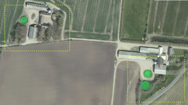
Example of training areas (yellow rectangles) with annotated slurry tanks (green circle).
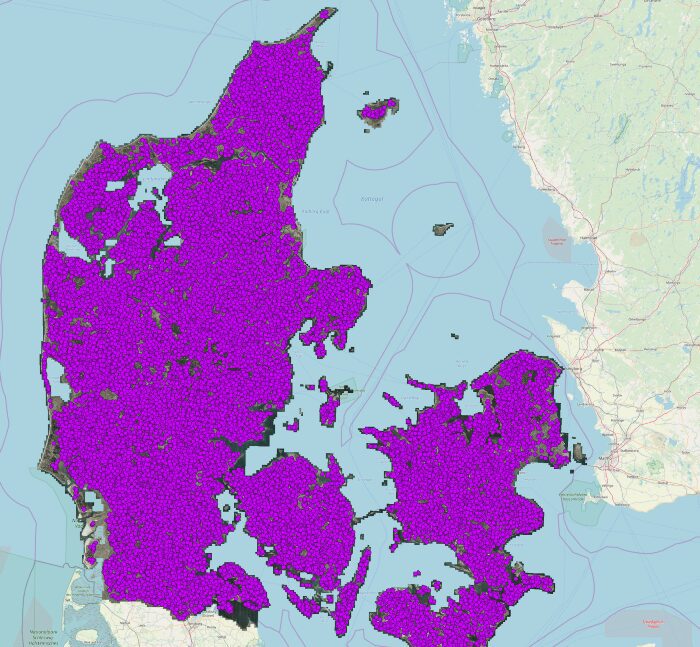
Geolocation of the 34’000 farms to be investigated
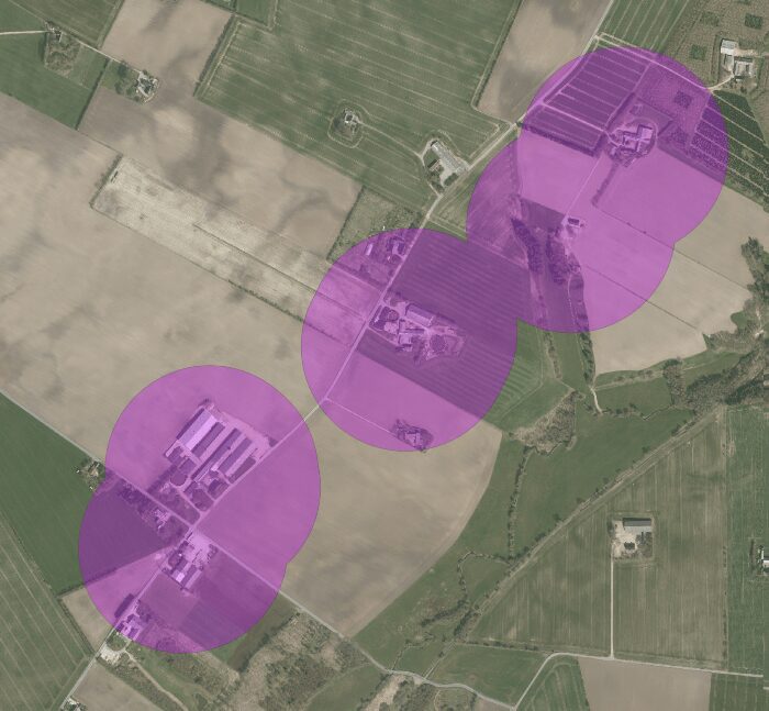
Zoomed-in view on example farms location
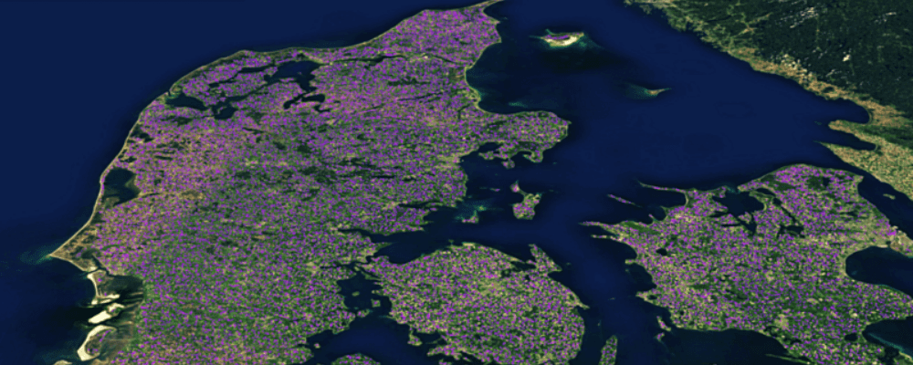
The results? Using Picterra, SEGES was able to detect 26.000 slurry tanks over Denmark in a few hours with only 56 training annotations.
This project clearly shows how machine learning models can be used to analyze geospatial imagery at scale, even over the whole country, in a very effective and time-efficient way. – said Julien Rebetez, Lead Software & Machine Learning Engineer at Picterra.
Check this link to see an interactive map of slurry tanks in Denmark: http://cloud.picterra.ch/public/showcase/seges/index.html
About Picterra:
Picterra, a Swiss company, provides a cloud-based geospatial platform that enables users to train custom detectors and apply them at scale on a drone, aerial, or satellite imagery, to detect objects or patterns anywhere on Earth. Without a single line of code and with only a few human-made annotations, Picterra’s users build and deploy unique actionable and ready to use deep-learning models. It comes with a ready-to-use IT infrastructure: in a few clicks, it’s possible to process terabytes of imagery with Picterra’s auto-scaling, GPU-enabled infrastructure.