In QGIS 3.6:
1.Load your two GeoJSON
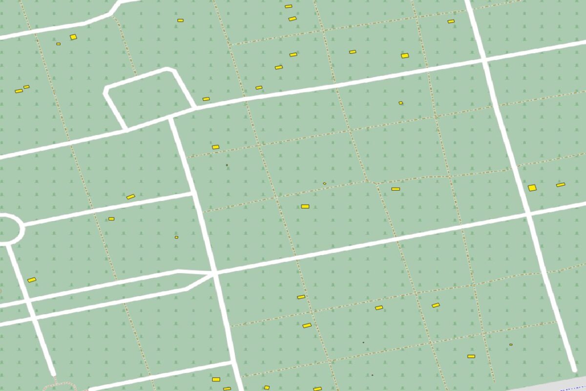
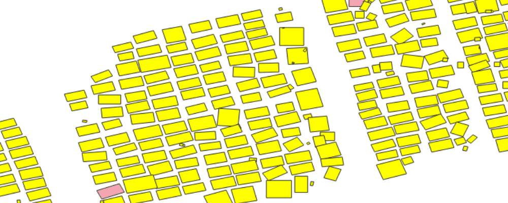
2. Check the box next to the first GeoJSON, into the Edit > Select Menu, Click Select All (Selected features should now be displayed in Yellow as in the screenshot below)
3. Use the Vector > Research Tool > Select by Location tool to extract the differences.
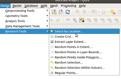
4. You then have multiple options depending on the type of changes that you want to see (new objects, changes in shapes, missing objects, …). In the screenshot below we are looking for objects that are in output 2 but not in output 1
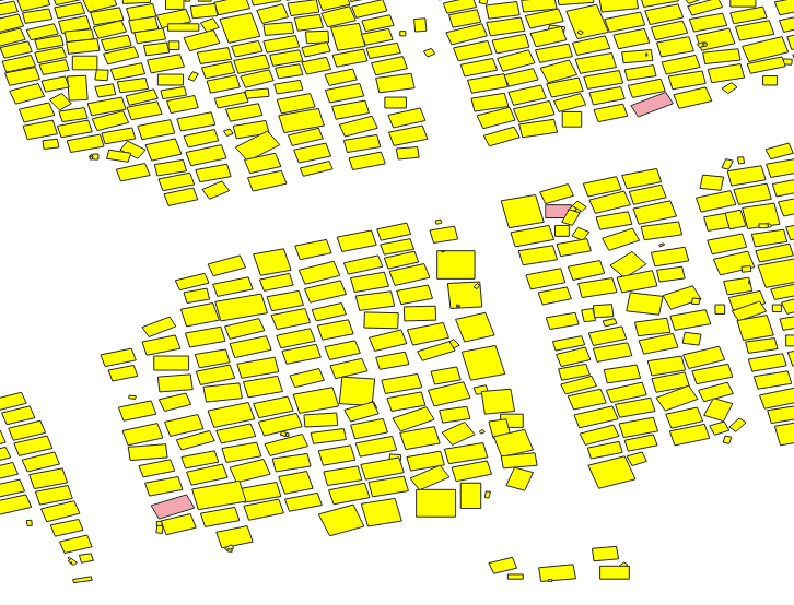
You should then see something like this
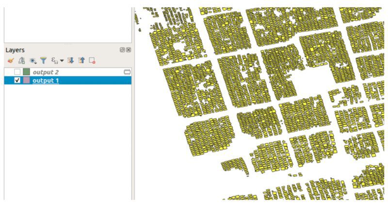
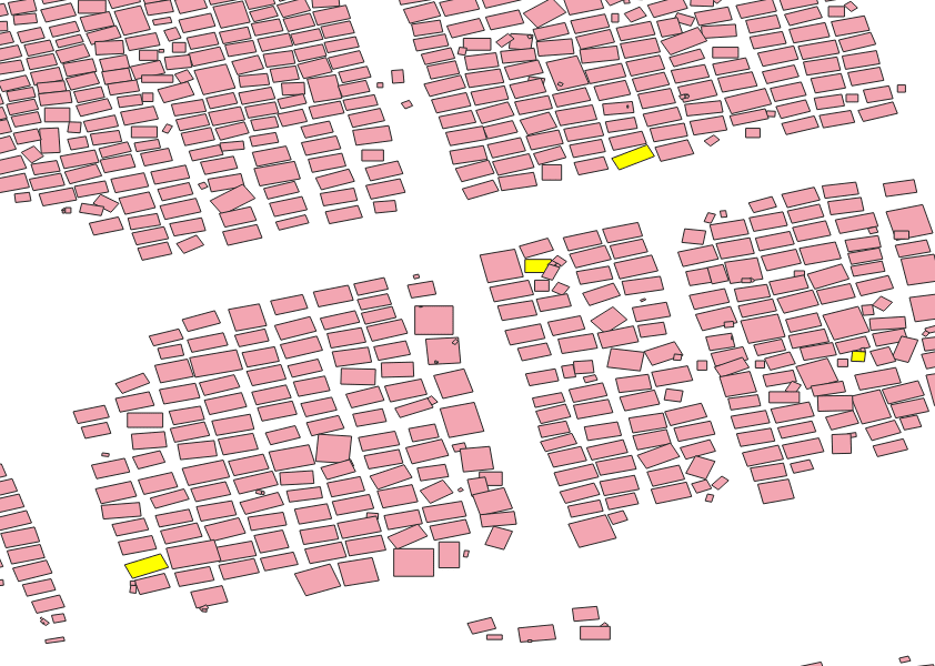
5. You then just have to invert the selection to select only the new objects (Edit > Select > Invert Feature Selection). New objects should now appear in Yellow:
6. The final step is to export this Selection into a new File. For this use Layer > Save As and check ‘Save only selected features’.