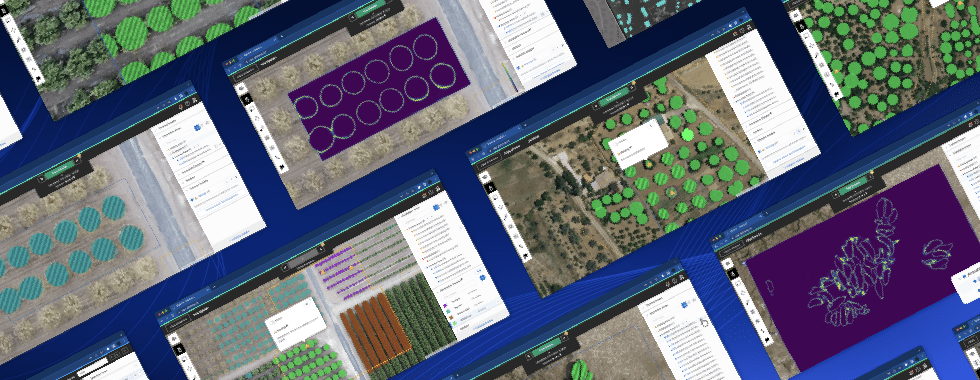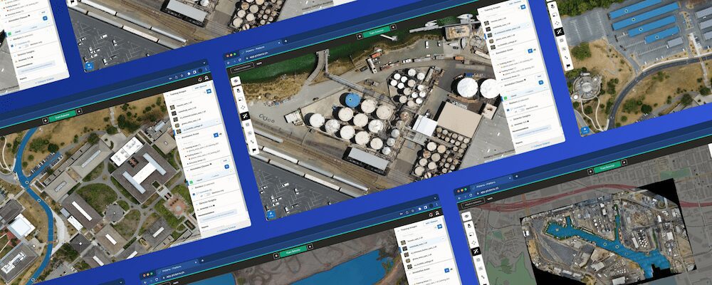


Picterra’s powerful machine learning algorithms can be used to quickly detect objects, patterns, and changes in Earth Observation imagery, be it satellite, drone, or aerial. We also offer a number of integrations that enables you to leverage this power in your tool or workflow of choice, including ArcGIS, QGIS, & FME. Read on to discover how this can be achieved and start incorporating deep learning models in your workflow today.
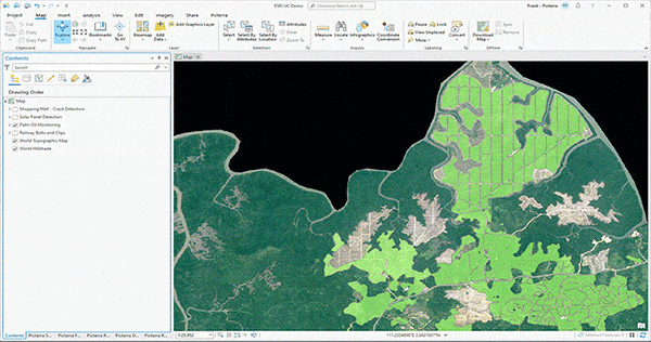
ArcGIS Pro, the powerful single desktop GIS application, is a feature-packed software developed with enhancements and ideas from the ArcGIS Pro user community. ArcGIS Pro supports data visualization; advanced analysis; and authoritative data maintenance in 2D, 3D, and 4D. It supports data sharing across a suite of ArcGIS products such as ArcGIS Online and ArcGIS Enterprise, and enables users to work across the ArcGIS system through Web GIS.
Picterra’s seamless integration with ArcGIS Pro allows users to bring the power of geospatial MLOps into their work. The Picterra add-in appears along the top ribbon and provides the ability to drastically scale operations without disrupting existing processes. The results are then effortlessly included in the ArcGIS environment for any post-processing.
Learn how to use the add-in in this interactive workshop and blog post.
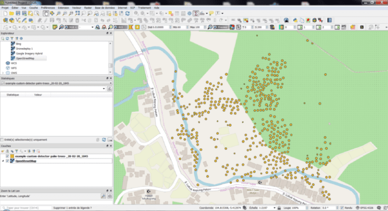
QGIS is a user-friendly Open Source Geographic Information System (GIS) licensed under the GNU General Public License. QGIS is an official project of the Open Source Geospatial Foundation (OSGeo). It runs on Linux, Unix, Mac OS X, Windows, and Android and supports numerous vector, raster, and database formats and functionalities.
Picterra’s QGIS plugin enables you to easily apply Picterra detectors on your imagery – without leaving QGIS.
Our QGIS plugin is currently in closed beta. Get in contact with us to request access!
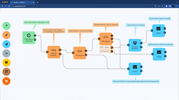
Safe Software‘s FME platform connects data across 450+ systems to help you integrate and transform data exactly for your needs, no matter where data is gathered, stored, or used. Reduce data silos across departments and advance your spatial analysis for any project.
Use the PicterraConnector in FME to create workflows that optimize your raster imagery for use in Picterra. Use any raster format supported by FME, connect them to Picterra, and then download vector features of interest.
See the connector action in the video below and learn more about how to use it over on Safe Software’s blog.