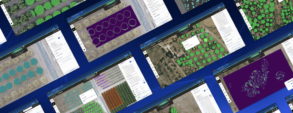
Modern GIS workflows can involve many distinct analysis and processing techniques often requiring a range of tools and platforms to translate raw data into something meaningful and actionable.
For example, when your workflow involves a machine learning platform such as Picterra, oftentimes it may be necessary or advantageous to perform pre-processing on Earth Observation (EO) imagery or post-processing of model results and vector data output.
Such actions increase the complexity, time, and expertise required to complete the process with users having to jump between multiple tools to ensure models are enriched with diverse data.
Introducing advanced tools
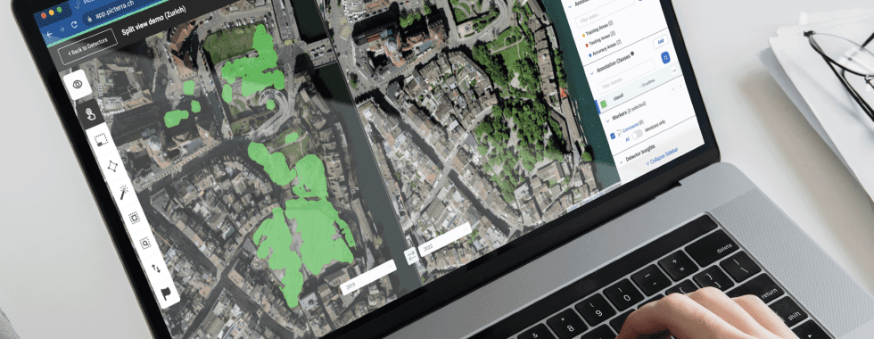
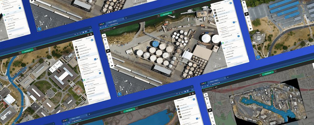
Today, we’re very excited to announce the availability of the first set of advanced tools, designed to help streamline and simplify workflows by providing access to powerful analysis and processing tools directly within the Picterra platform.
The first three tools included with this launch are NDVI analysis, DSM height extraction, and image stacking. Read on to learn more about how they can be used within your workflow.
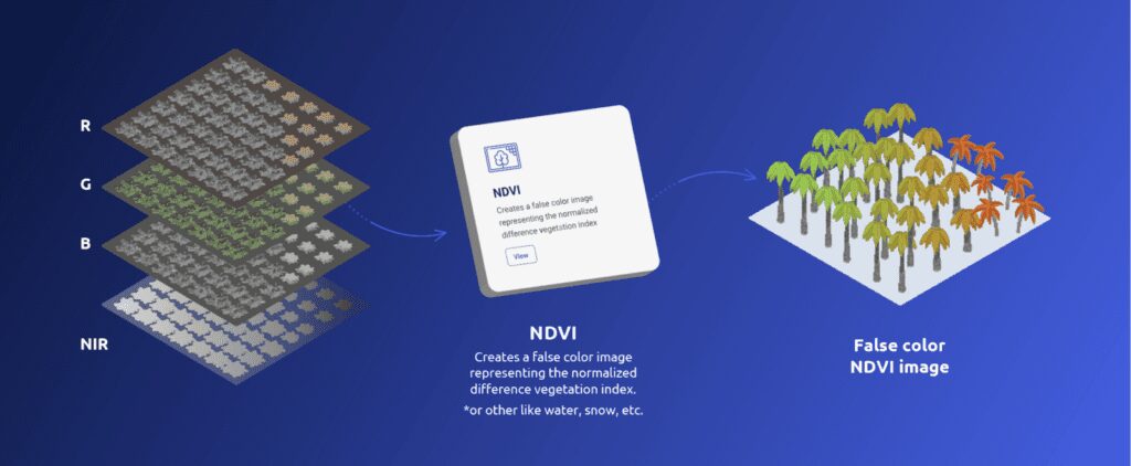
NDVI analysis
Normalized Difference Vegetation Index (NDVI) is used to quantify vegetation greenness and is useful in understanding vegetation density and assessing changes in plant health.
The NDVI tool in Picterra enables users to quickly create a false color image representing the normalized difference vegetation index.
DSM height extraction
A digital surface model (DSM) is a three-dimensional representation of the heights of the Earth’s surface, including natural or man-made objects located on it. Extracting the average height of detections can be used in a number of use cases including tree height estimation and construction monitoring.
Additionally, the vertical dimension of built-up areas plays a major role in urban heat islands by affecting the urban energy balance and is key in Earth System Modeling. It is also a key predictor for rubble generated by disasters such as earthquakes.
The DSM height extraction tool in Picterra adds the mean, minimum, and maximum elevations to a vector later based on supplied DSM data.
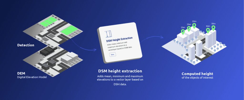
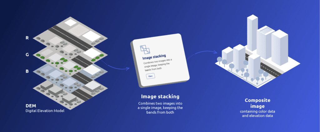
Image stacking
Image or layer stacking is a process for combining multiple images into a single image and retaining all band information.
Image stacking helps improve detector accuracy by combining information from multiple bands (e.g., DSM, NIR, thermal) into a single image. The detector is able to learn from this additional information and become more accurate. This is especially the case when objects are difficult to distinguish within the visible spectrum (RGB) but are more distinct in other ranges.
Try these advanced tools out for yourself by signing up for a free trial. Plus register for our upcoming webinar to see them in action and get a preview of what’s coming next.
This is just the beginning and we will be adding many more tools over the coming weeks and months. Is there a tool you would like to see added? Get in touch and let us know.