The partnership combines the power of the Picterra platform with GeoSys’ deep domain expertise.
Lausanne, Switzerland, June 8, 2021 – Picterra – the Swiss-based geospatial intelligence platform – today announced an exciting new partnership with GeoSys Hong Kong Ltd. Having completed two successful projects together with the Hong Kong Lands and Home Affairs Departments, the solidified partnership will provide a unique geospatial solution to clients in Hong Kong and Mainland China. It leverages Picterra’s state-of-the-art AI technology with GeoSys’ extensive sector expertise and implementation experience for clients looking to turn geospatial images into insights.
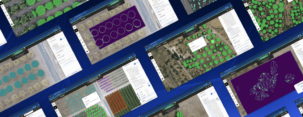
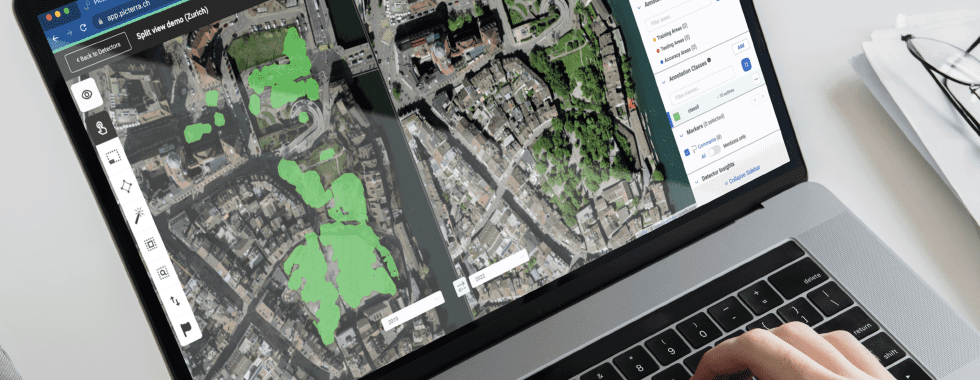
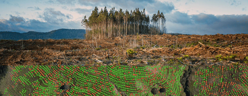
Picterra is an end-to-end geospatial intelligence platform that simplifies the process of spotting trends, finding objects, and monitoring changes in geospatial images. Common use cases include gaining visibility into supplier practices to report on ESG goals; optimizing land usage and urban planning; and assessing the risk profile of infrastructural assets.
“We are excited to bring Picterra to the Hong Kong and Chinese markets and introduce it to our clients,” says Jack Zhang, General Manager at GeoSys Hong Kong Ltd. “Picterra’s AI technology offers a great advantage by making it easy to monitor changes from imagery and receive alerts when the business needs to take immediate action.”
Pierrick Poulenas, CEO & Co-Founder of Picterra said: “Hong Kong is a key market for us. Land is scarce there so we see a great fit for Picterra to help optimize the use of land resources and support smart city initiatives. We are thrilled to be able to offer our technology alongside GeoSys’ local expertise and track record of helping clients achieve their business objectives.”
About Picterra
Picterra is the first geospatial intelligence platform to enable businesses to autonomously extract insights from satellite and aerial imagery. Users can build and deploy deep-learning models quickly and securely without a single line of code.
About GeoSys Hong Kong Ltd.
GeoSys Hong Kong Limited is an innovative geospatial technology company providing Geographic Information System, BIM, Indoor and Outdoor Scanning System, Satellite and UAV remote sensing technology research, development, applications, and services in Hong Kong.