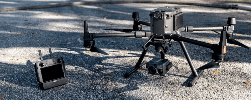
Picterra will be at the Zurich Innovation Park tomorrow to introduce the first version of our platform dedicated to professional drone users at the Swiss Drone Industry Day.
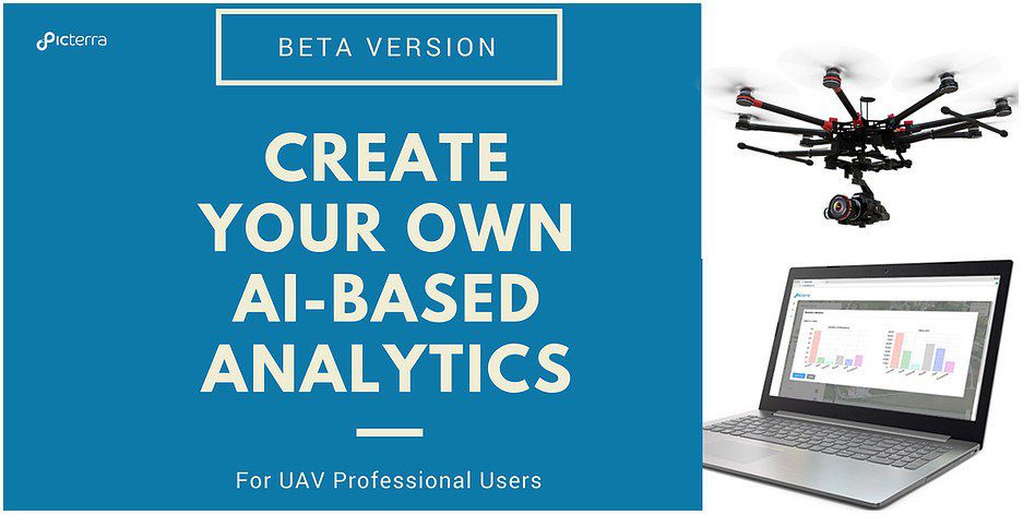
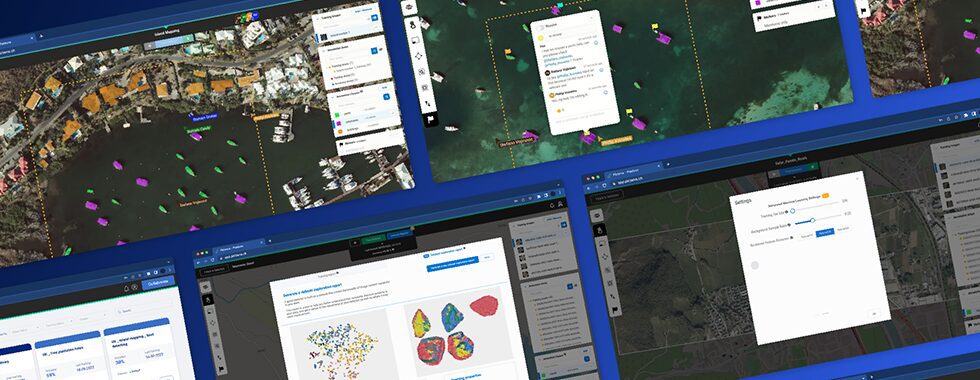
We are proud to release the beta version of our AI-powered platform. This is the first geospatial analytics platform allowing professional drone-mapping services providers to easily harness the power of deep learning, without the need of any programming skills.
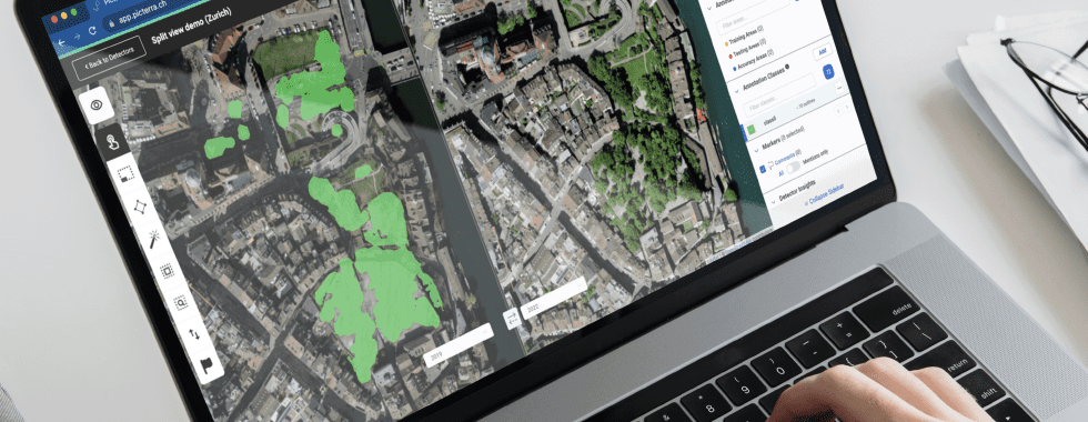
Create your own detectors based on your own categories with Picterra unique Interactive Learning technology to generate more value than ever from your drone data.
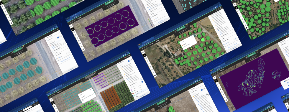
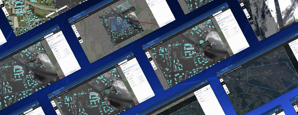
Explore the platform and discover the features here
The beta version will be open to a limited number of users, therefore if you are interested to be among the first to discover the future of aerial analytics, just get in touch with the team.