Supported images
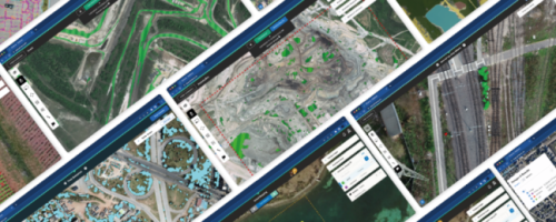
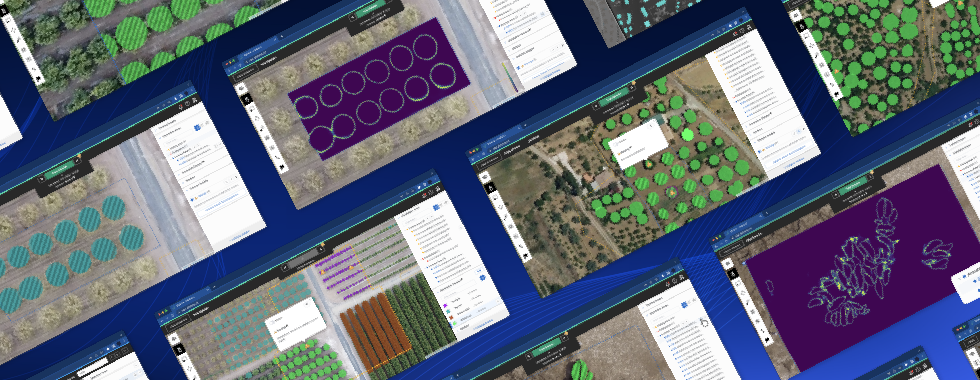
Using your own satellite, aerial or drone imagery is as easy as uploading directly to the platform. You can also connect your own geo-server.
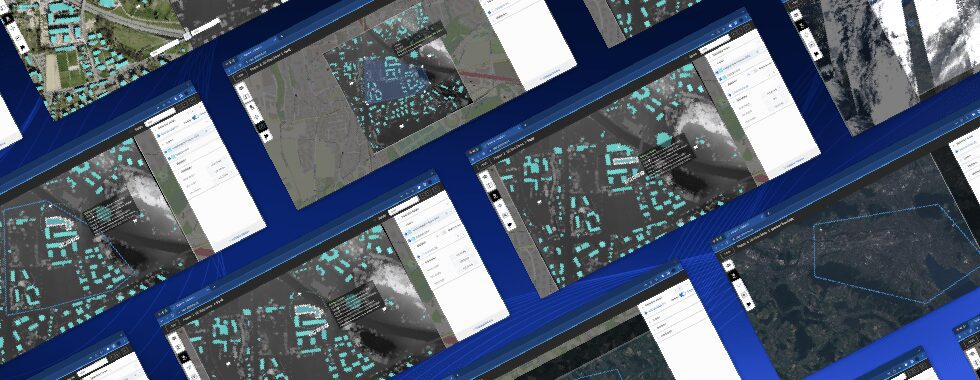
- RGB
- False Color
- Thermal
- SAR
- NIR
Purchase specific imagery
Purchase high-resolution satellite imagery from our partners directly through the platform. You can even task satellites to monitor specific areas you define.


Not seeing your preferred provider on the list? Contact Us
Browse open sources
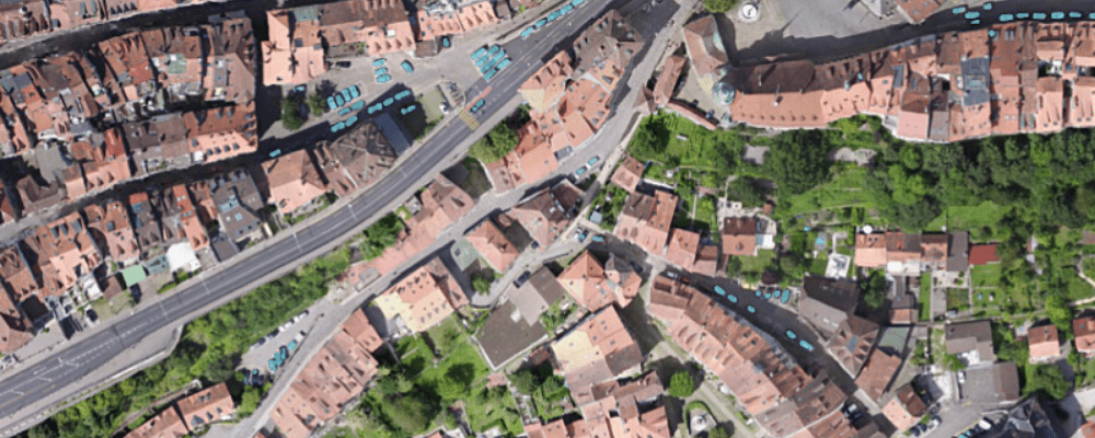
Import imagery directly from our library open imagery sources or add additional repositories through WMS.
- Spain 2019 | INSPIRE | 25cm
- Slovenia 2019 | INSPIRE
- Lyon, France 2009 | Métropole de Lyon
- US National Map 2018 | USGS | 100cm
- Lithuania INSPIRE | 50cm
- Wallonia, Belgium 2018 | INSPIRE | 25cm
- Solothurn, Switzerland 2017 | City of Solothurn
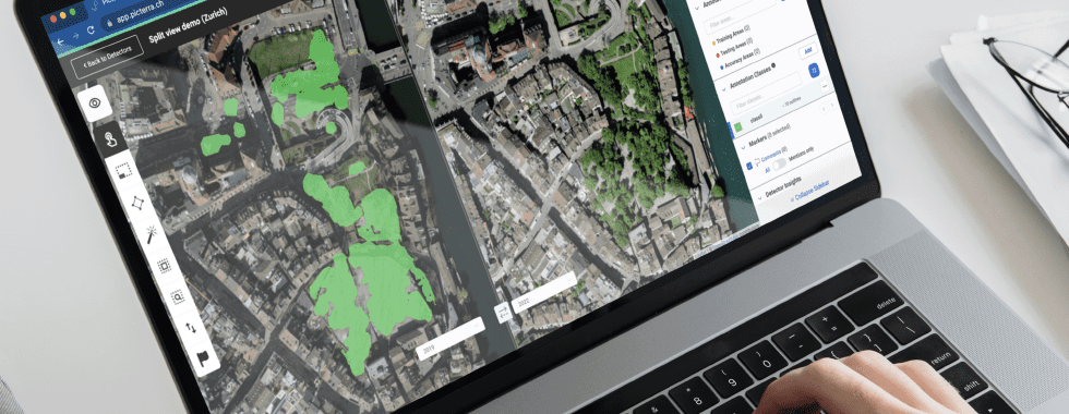
- Zurich, Switzerland 2018 | City of Zürich
- True Color (RGB) Sentinel-2 | 10m
- Vegetation (False Color) Sentinel-2 | 10m
- Soil Moisture Index (SMI) Sentinel-2 | 10m
- SAR (False Color) Sentinel-1 | 10m
