/

June 13, 2023

Future of mining & geoAI: insights from industry leaders

In an era where technology is reshaping industries, the mining sector is no exception. The advent of geospatial data and artificial intelligence (AI) has opened up new avenues for innovation, efficiency, and sustainability in mining practices. Recently we hosted the first in a series of webinars that brought together industry leaders to discuss these transformative technologies and their impact on the mining industry.

This blog post delves into the insights shared during this enlightening session. From the perspective of Ghana’s Minister for Lands and Natural Resources to the experiences of experts in geospatial AI, we explore how these technologies are revolutionizing mining operations and paving the way for responsible and sustainable practices.

Join us as we unpack the key takeaways from this webinar, shedding light on the future of mining and how we can harness the power of geospatial data and AI to drive this industry forward.

Revolutionizing Ghana's mining industry: a vision from Hon. Samuel A. Jinapor

Hon. Samuel A. Jinapor, the Minister for Lands and Natural Resources of Ghana, opened the webinar with a warm welcome and emphasized the importance of the mining industry in Ghana’s national economy. He highlighted the country’s efforts to make Ghana the hub of the mining industry in Africa, focusing on all mining-related activities from exploration to downstream production, research, and innovation.

He stressed the importance of adhering to environmental, social, and governance principles in the mining industry. He also underscored the critical role of data, particularly geospatial data powered by artificial intelligence, in planning and policy development.

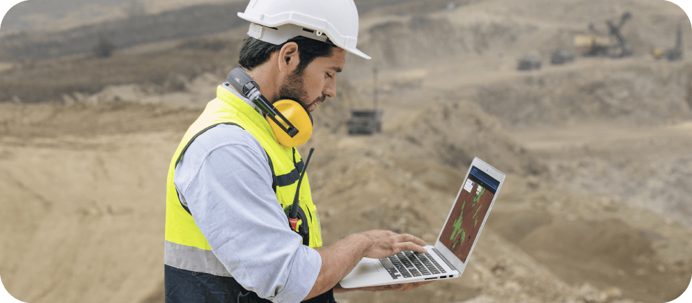
Artificial intelligence, powered by geospatial data, is set to play a critical role in the mining industry, as emphasized by the African Mining Vision which underscores the centrality of data across the entire value chain of the industry and associated sectors. To this end, we have developed a national geospatial policy in Ghana to promote using a comprehensive array of spatial data, information, and services to effectively regulate our lands and natural resources sector.

The Minister mentioned the African Mining Vision, which emphasizes the centrality of data not just for mining operations, but for the entire value chain of the industry and associated sectors. He also highlighted the intentional structuring of Ghana’s governance architecture to place the Ministry of Lands and Natural Resources in charge of both the mining and land sectors due to their significant linkage.

The Minister announced the development of a national geospatial policy to promote using a wide array of spatial data, information, and services to regulate Ghana’s lands and natural resources sector. This policy, once approved, will provide a solid foundation to promote the use of geospatial data in the mining industry.

Digital Earth Africa: pioneering data-driven decision making in the mining industry

Lisa-Maria Rebelo, Lead Scientist at Digital Earth Africa, discussed the role and vision of the organization, a programme established in 2019 to provide routine, reliable, and operational services covering the entire African continent. The programme uses Earth observation satellite images to deliver decision-ready products, aiming to enable a wide range of users to address key challenges and foster an ecosystem for innovation across sectors.

Digital Earth Africa operates on key principles, including free, open, and interoperable data, operational services covering the entire continent, accountability and transparency, and diversity and inclusion. The programme has been developed in phases, focusing initially on feasibility and infrastructure setup. The current phase, concluding this month, emphasizes the importance of reliable and timely access to analysis-ready datasets, and pre-processed satellite imaging

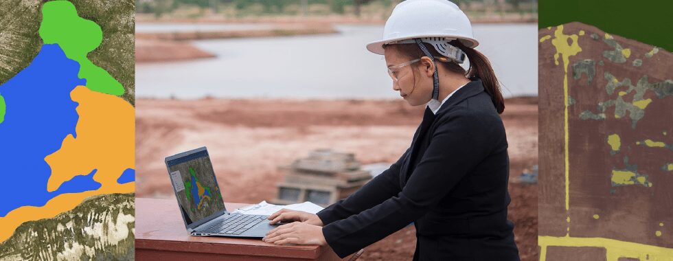
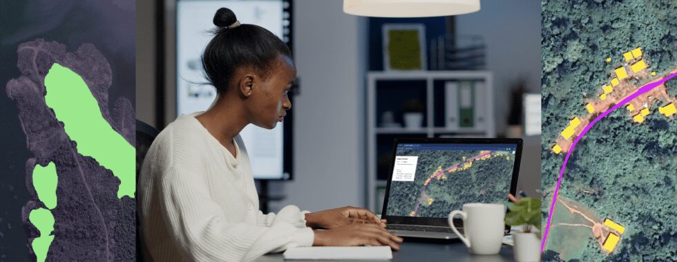
We have a library of workflows, with machine learning routinely integrated. These currently address over a hundred different thematic areas in case studies, one of which is mining.

Lisa-Maria highlighted the programme’s commitment to demand-driven services and co-designing analytical workflows with end users on the continent. She mentioned that they have a library of workflows with machine learning routinely integrated, addressing over a hundred different thematic areas, including mining.

Want to learn more about how geoAI can be used in mining & quarries?

Geospatial AI: a game-changer for addressing mining challenges and promoting sustainability

In a thought-provoking discussion, Steven Ramage and Prof. Amos T. Kabo-Bah delved into the unique challenges faced by different types of mining organizations, from major corporations to junior exploration companies. They explored the transformative potential of geospatial artificial intelligence (AI) in the mining industry, highlighting its capacity to provide actionable insights and predictive analytics for potential mineral deposits, enhance operational efficiency, improve safety, and ensure regulatory compliance.

Prof. Kabo-Bah, in particular, emphasized the invaluable role of data in the mining industry. He likened data to gold, underscoring its importance in understanding the extent and value of mining activities. He brought attention to the issue of illegal mining in Ghana, a problem that has not only affected the mining industry but has also had significant repercussions on other sectors, such as the cocoa industry.

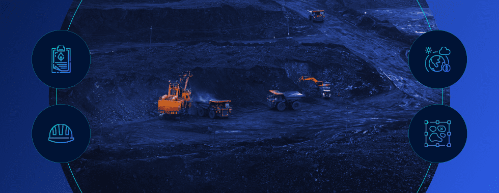
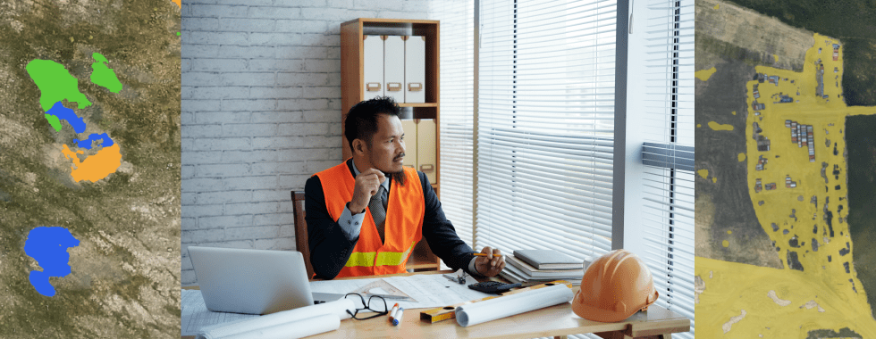
Data is gold. We are mining gold, but data is also gold because it helps us understand how much has been gone or has been mined.

In the face of these challenges, Prof. Kabo-Bah advocated for the use of geospatial AI tools to bring about much-needed transparency in the mining process. He suggested that these tools could enable mining companies and regulatory bodies to monitor mining activities effectively. This would ensure that all mining operations, whether carried out by large corporations or smaller entities, are conducted in a transparent and accountable manner.

Safety was another key issue highlighted during the discussion. Prof. Kabo-Bah pointed out that geospatial AI tools could play a crucial role in addressing safety concerns for workers in the mining industry. By providing real-time monitoring and actionable insights, these tools could help identify potential risks and implement necessary safety measures, thereby reducing the risk of accidents and loss of life.

The conversation also touched on the role of geospatial AI in mitigating climate change risks and promoting responsible business practices. Prof. Kabo-Bah expressed his belief that geospatial AI could help mining companies align with environmental, social, and governance (ESG) principles. He emphasized the importance of ensuring that mining activities do not compromise the sustainability of the land and the environment.

In this context, Prof. Kabo-Bah mentioned his role as co-chair for GEO LDN on land degradation neutrality. He stressed the need to ensure that every piece of land retains its value and contributes to sustainable living, even after mining activities have been carried out. He suggested that geospatial AI could play a crucial role in achieving this goal by providing the necessary data and insights to monitor and manage land use effectively.

Enhancing transparency, sustainability, and profitability

The final section of the webinar brought into focus the role of geospatial AI in the mining industry, with a particular emphasis on its potential to enhance transparency, sustainability, and profitability. Prof. Amos T. Kabo-Bah shed light on the specific challenges that Ghana’s mining sector faces, especially in the areas of closure and reclamation. He also highlighted the significant impact of mining activities on water resources, a critical concern given that most of Ghana’s water supply comes from surface water.

Prof. Kabo-Bah advocated for the integration of geospatial AI into mining operations, arguing that it could provide a much-needed layer of transparency and a comprehensive understanding of the entire value chain. He suggested that as part of the licensing process, mining companies should be required to incorporate geospatial AI into their operations. This would allow for real-time monitoring and assessment of mining activities, enabling regulators to have a clear understanding of the operations of mining companies.

Steven introduced Picterra’s geospatial machine learning platform. This platform offers a low-code or no-code solution, making it accessible to a wide range of users. It is capable of detecting objects, patterns, and changes, making it highly relevant to mining and other related sectors. He emphasized the importance of governance, sustainability, policy, and regulatory aspects in mining. He noted that these considerations are shared across many countries and mining companies, all of which have significant investments in the sector.

The discussion also touched on the need for data standards to break down silos across the lifecycle of mining operations. Prof. Kabo-Bah suggested that a national policy could unify data systems, ensuring that all relevant data is accessible and shared across different sectors. This would allow for a more holistic approach to managing and regulating mining activities.

Conclusion

In conclusion, the mining industry stands at the precipice of a transformative era, driven by the innovative application of geospatial data and artificial intelligence. As highlighted by industry leaders during the enlightening event, these technologies hold the potential to revolutionize mining practices, enhance operational efficiency, and promote sustainable and responsible mining.

The insights shared by Hon. Samuel A. Jinapor, Minister for Lands and Natural Resources of Ghana, emphasized the critical role of geospatial data and AI in driving innovation and adhering to environmental, social, and governance principles. Lisa-Maria Rebelo’s discussion on Digital Earth Africa’s efforts further underscored the importance of data-driven decision making and the creation of an ecosystem for innovation across sectors.

Prof. Amos T. Kabo-Bah’s insights into the challenges faced by the mining industry, particularly in Ghana, highlighted the need for transparency, regulatory compliance, and the mitigation of environmental and public health risks. The discussion also underscored the potential of geospatial AI to address these challenges and contribute to the profitability and sustainability of mining operations.

As we move forward, it is clear that the integration of geospatial data and AI in mining operations is not just a trend, but a necessity. It is a path toward a more sustainable, efficient, and responsible mining industry. The insights shared during this event serve as a valuable guide for industry stakeholders, policymakers, and technology innovators as they navigate this transformative journey. The future of mining is here, and it is digital, data-driven, and sustainable.

Want to learn more?

sign up to our newsletter