Geospatial intelligence has emerged as a powerful tool in addressing a range of humanitarian challenges, with its applications becoming increasingly vital in recent years. The analysis of satellite and drone imagery using artificial intelligence has proven invaluable in responding to disasters, assessing the extent of damage, and identifying access routes, enabling relief efforts to be expedited and aid to be provided more quickly to those in need.
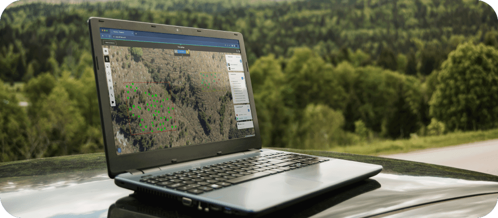
In addition, geospatial intelligence has been crucial in monitoring deforestation and illegal logging, enabling conservation organizations to take targeted and informed action to protect vulnerable ecosystems and the species that depend on them. The ability to gain insights from this technology is invaluable in tackling humanitarian challenges, such as climate change, food security, and public health.
One of the most pressing humanitarian challenges is the ongoing threat of landmines and explosive remnants of war in post-conflict areas. These hazards not only claim lives and cause injuries but also hinder the daily activities and socioeconomic development of affected communities.
At Picterra, we believe that harnessing geospatial intelligence can bring about transformative changes in various humanitarian efforts, from disaster management and environmental conservation to crisis response. We are proud to have partnered with the Geneva International Centre for Humanitarian Demining (GICHD) to develop tools that aid in the detection and removal of landmines and explosive remnants of war, ultimately protecting communities worldwide.

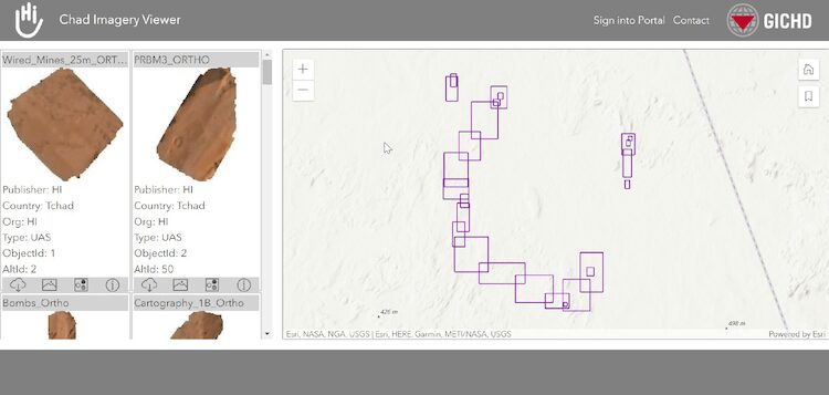
In 2020 the GICHD created the Imagery Service Toolbox, an interactive, browser-based tool that allows demining organizations to manage, save, share, and analyze imagery data. The toolbox has been integrated as a plug-in into the Information Management System for Mine Action (IMSMA), promoting consistent practices and streamlined data storage across the sector.
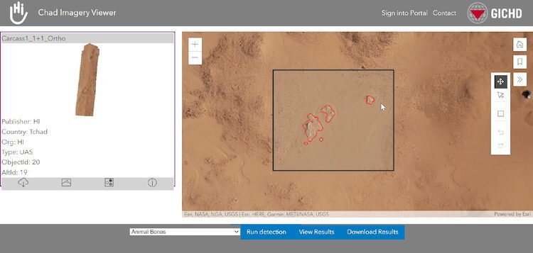
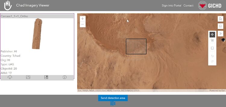
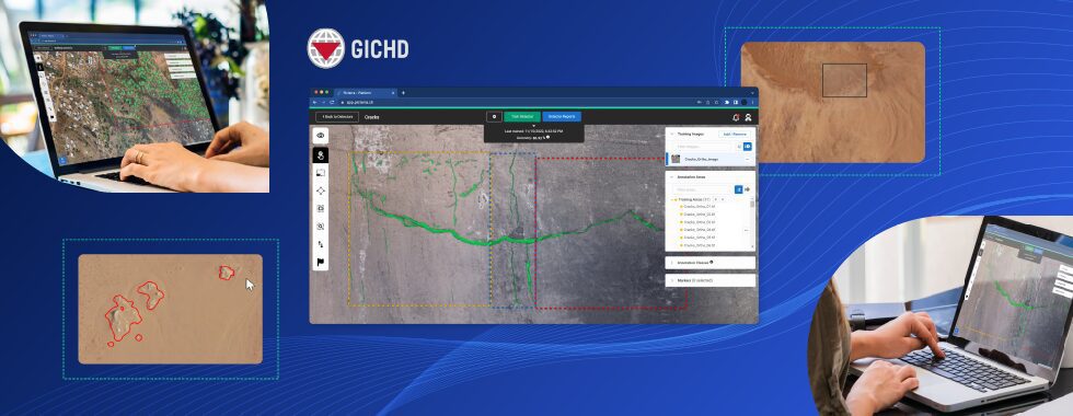
As a proud collaborator with the GICHD, we have incorporated our AI-powered object detection technology into the Imagery Service Toolbox. This feature considerably reduces the time spent identifying areas contaminated by explosive ordnance. Our cloud-native, secure machine learning platform allows users to process raw data from satellites and aerial images without any specific expertise or remote sensing background.

Through their ongoing partnership, Picterra and the GICHD aim to deliver user-friendly and robust machine-learning solutions for image analysis to the mine action community, transforming image management and analysis into a critical component of the demining process.
