If you’re looking to improve your asset management capabilities, satellite and drone imagery are a great way to get started. This article will walk you through the most effective ways to manage assets using these technologies.
What is asset management?
Asset management is a process for identifying, maintaining, and improving a company’s assets. It’s used in many industries and can be helpful to any business.
Asset management involves developing strategies for managing the tangible and intangible resources owned by an organization or individual. In other words, it’s about making sure that you have what you need when you need it so that everything runs smoothly–or at least as smoothly as possible!
Asset management typically involves a wide range of activities, such as strategic planning, risk management, performance analysis, portfolio diversification, and ongoing monitoring and evaluation of assets. The ultimate goal of asset management is to maximize the returns on investment while minimizing the risks and costs associated with managing and maintaining assets.
Why use satellite & drone imagery?
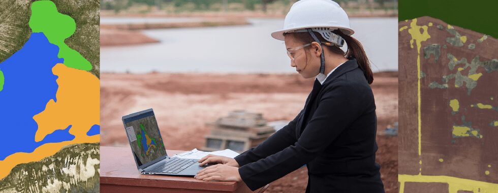
Satellite and drone imagery is a great way to assess the condition of your assets. Advancements in satellite and drone technology make it easier than ever before for businesses to monitor their assets, but with the right tools, techniques, and training you can use satellite imagery, drone data, and machine learning algorithms to improve asset management.

The use of satellite and drone imagery can help organizations improve their asset management by providing more accurate, cost-effective, and efficient methods of data collection and analysis.
Accurate and up-to-date information: Satellite and drone imagery can provide high-resolution and real-time data on the condition and location of assets, such as buildings, infrastructure, and natural resources, which can be critical for making informed decisions about their maintenance and management.
Cost-effective: Satellite and drone imagery can be more cost-effective than traditional methods of asset management, such as on-site inspections, which can be time-consuming and expensive.
Accessible: With the increasing availability of satellite and drone imagery, it has become easier for organizations to access and analyze data on their assets from remote locations, which can be particularly useful for large or geographically dispersed assets.
Increased efficiency: Satellite and drone imagery can allow for faster and more efficient analysis of assets, allowing organizations to identify and respond to issues more quickly and efficiently.
Improved safety: By using drones for asset inspections instead of sending people to do them, organizations can improve safety by avoiding potential hazards, such as working at heights or in dangerous environments.
How to improve asset management using machine learning
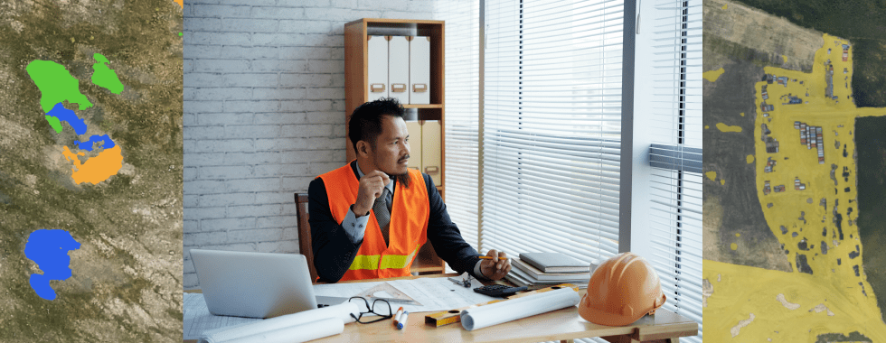
The combination of satellite and drone imagery with machine learning techniques has the potential to revolutionize asset management by providing organizations with unprecedented access to accurate and real-time data on their assets. By leveraging machine learning algorithms, organizations can analyze large amounts of data from these sources to identify patterns and anomalies that may indicate the need for maintenance, repair, or replacement. This predictive maintenance approach can help organizations avoid costly downtime and maximize asset performance.

Additionally, machine learning can help organizations to optimize their asset management strategies by identifying opportunities for cost savings, improving inventory management, and reducing energy consumption. Satellite and drone imagery can further enhance these efforts by providing detailed and up-to-date visual information on assets, such as buildings, infrastructure, and natural resources. By integrating these tools and techniques into their asset management practices, organizations can more effectively manage their assets, reduce costs, and increase efficiency.

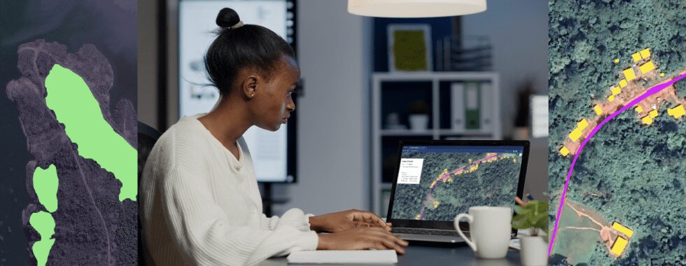
In addition to predictive maintenance and optimization of asset management strategies, satellite and drone imagery, along with machine learning techniques, can also be used for a range of other asset management tasks. For example, organizations can use machine learning algorithms to analyze satellite imagery to identify changes in natural resources, such as vegetation and water levels, which can be useful in managing land-based assets, such as agriculture and forestry. Similarly, drone imagery can be used to monitor and manage construction sites by analyzing site data in real time and identifying potential issues that may impact the project’s progress.
Get started
Picterra is a cloud-based platform that allows organizations to extract valuable insights from satellite and drone imagery using artificial intelligence. To get started with Picterra for asset management, the first step is to sign up for an account and upload your imagery to the platform. Once your imagery is uploaded, you can create your own AI models to detect and classify features such as buildings, infrastructure, and natural resources.

By using Picterra’s AI-powered object detection and segmentation capabilities, you can quickly and accurately analyze your assets and identify potential issues that may require maintenance or repair. Additionally, you can set up automatic alerts to notify you of any changes or anomalies in your assets, which can help you to take corrective action before a problem arises. With Picterra, you can streamline your asset management processes, reduce costs, and improve the overall performance of your assets.