

The Swiss Federal Railways (known as SBB/CFF/FFS depending on the local language) operates one of the most heavily used railway networks globally. Famous for offering high-quality service, SBB transports 1.18 million passengers and 210,000 tons of cargo over 3,000 kilometers of railways daily. In a mountainous region like Switzerland, that is no small feat. It requires careful planning, construction, operation, and maintenance of a large infrastructure network, much of which is enhanced with smart technologies.
Challenging the public sector stereotype, SBB is no stranger to innovation. It has a history of investing in innovative solutions to improve service, run a safe operation, and boost infrastructure longevity.
“UAVs and satellite imagery are of significant interest to SBB as Earth Observation data has the potential to survey the SBB infrastructure at low cost and with great efficiency and quality. SBB foresees the application of UAVs and satellite imagery in numerous and various applications.”
– Nicolas Ackermann, Development Engineer Drones at SBB’s Centre of Competence for Drones.
SBB founded its Centre of Competence for Drones to provide guidance, best practices, and use cases with any SBB department that requires Earth Observation data captured by drones or satellites. Knowing how time-consuming manual image analysis can be, the CoC explored how machine learning technology can help to automate the process. Their research led them to contact Picterra.
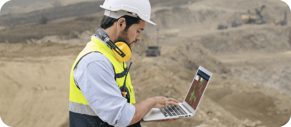
SBB has carried out several Proofs of Concept using Picterra’s enterprise AI platform. The aim was to document track-related objects and perform neophytes mapping. Ultimately SBB hopes to create autonomous systems that document the infrastructure, perform inspections, and support inspectors and asset managers in their decision-making.
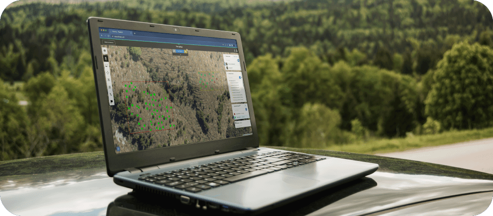
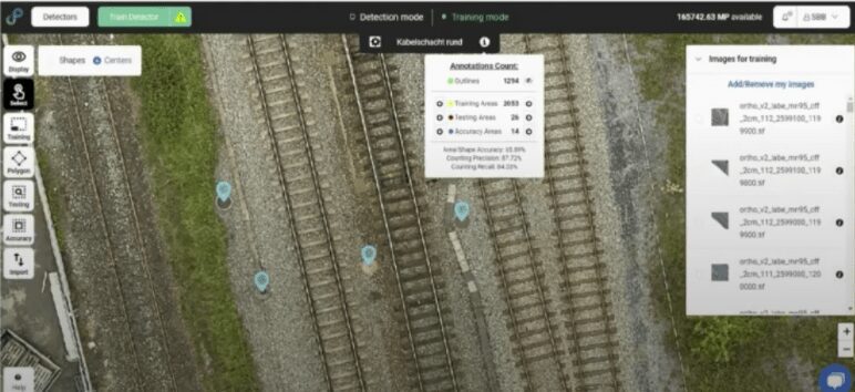
SBB maintains a country-scale database of various objects related to its railway (e.g. manholes, signals, canals, etc.). The irregular nature and inaccessibility of these objects make it very challenging to keep the database up to date and accurate through manual documentation. That is where machine learning comes in. Since these objects are easily spotted in aerial imagery, SBB used Picterra to create detectors that automatically identify and categorize the objects.
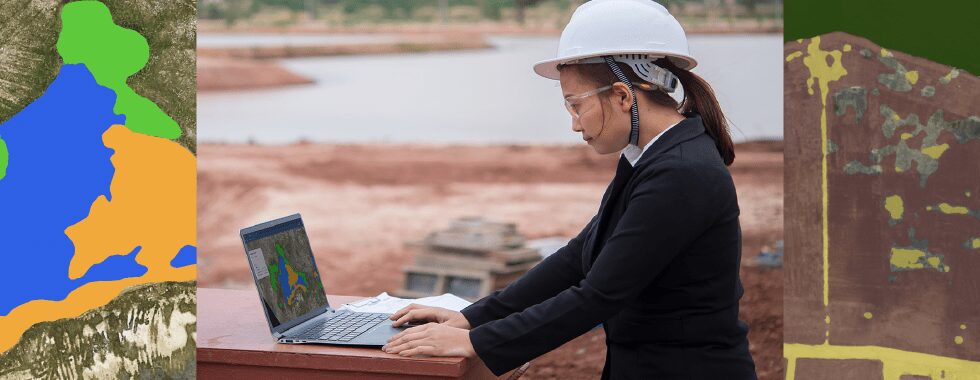
In a recent project about counting manholes, the CoC used photogrammetry software to transform RGB images from drones and helicopters into orthophotos. In the Picterra platform, they built machine learning models to auto-detect the manholes and count them with 93% accuracy for a railway line of about 20km.
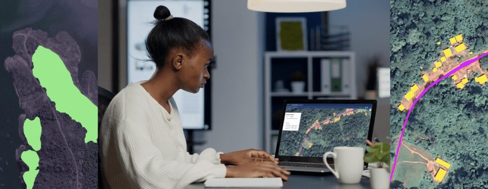
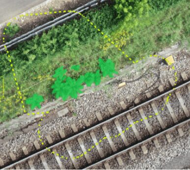
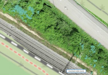
Neophytes are invasive plants species characterized by their rapid growth making them particularly important to keep track of in the railway industry. In a very short amount of time, they can cover the signalization or, worst case, cause damage to the infrastructure. Adding insult to injury, they can also be toxic to humans and animals.
SBB has conducted several experiments in Picterra to automate the identification of neophyte problem areas to streamline removal. In a first evaluation of the Picterra platform, SBB used orthophotos taken from helicopters to create detectors for 6 different neophytes, identifying the plants nearby and on the train tracks. The results were promising; the detectors’ accuracy ranged from 60-90%. SBB plans on testing Picterra’s recently launched multi-class detectors to classify all species in one detector which should yield even higher accuracy.
It is clear that coupling geospatial images with machine learning models can have a meaningful impact on the transportation industry. As a fellow Swiss company, Picterra is encouraged to see a household brand like SBB be at the forefront of using innovative technology to deliver its customer promise. We can’t wait to see which other applications they find for geospatial intelligence!
To learn more about using Picterra’s geospatial AI for railway networks, visit our solution page.