Press release: Picterra now available on the Esri ArcGIS marketplace
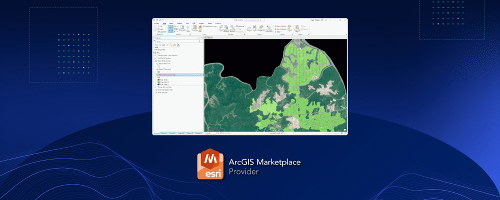
Lausanne, Switzerland, October 13, 2022 – Picterra, the leading provider of geospatial machine learning software, today announced their Add-In for Esri ArcGIS Pro is now available on the ArcGIS marketplace.
Building on the news last month that Picterra is a Silver Partner in the Esri Partner Network (EPN), this announcement continues the strategic partnership between the two companies.
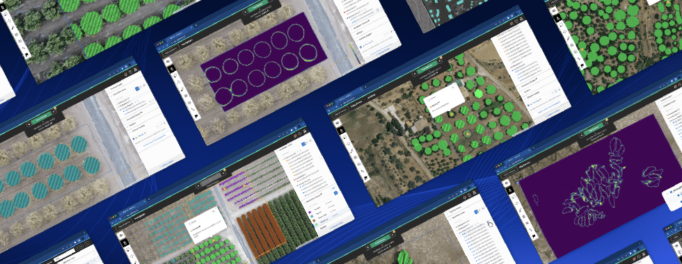
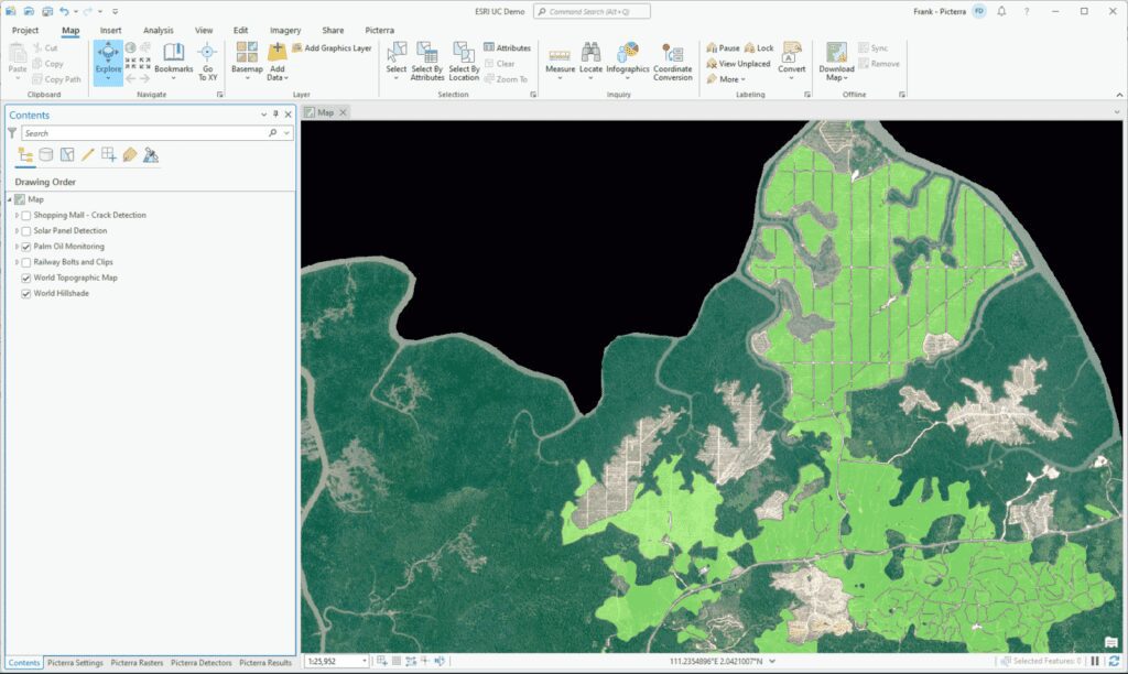
The Add-In, available as a free download on the ArcGIS marketplace, allows Esri users to bring the power of geospatial MLOps into their work, drastically scaling operations without disrupting existing processes.
- Harness the power of your unique Machine Learning models.
- Perform detections at scale across the content within ArcGIS Pro.
- Integrate results directly into ArcGIS Pro for further post-processing within your ArcGIS ecosystem.
For more detailed information regarding any of the above-mentioned technology or the applications in general, please visit the Picterra website, the ArcGIS marketplace listing, or contact us at hello@picterra.ch.
About Esri
Esri, the global market leader in geographic information system (GIS) software, location intelligence, and mapping, helps customers unlock the full potential of data to improve operational and business results. Founded in 1969 in Redlands, California, USA, Esri software is deployed in more than 350,000 organizations globally and in over 200,000 institutions in the Americas, Asia and the Pacific, Europe, Africa, and the Middle East, including Fortune 500 companies, government agencies, nonprofits, and universities. Esri has regional offices, international distributors, and partners providing local support in over 100 countries on six continents. With its pioneering commitment to geospatial information technology, Esri engineers the most innovative solutions for digital transformation, the Internet of Things (IoT), and advanced analytics. Visit us at esri.com.
About Picterra
Founded in 2016 in Switzerland, Picterra helps clients worldwide solve some of the toughest geospatial problems to future-proof and scale their businesses and support a transition to a decarbonized economy. With access to more Earth Observation (EO) images than ever before, companies across industries are realizing the strategic importance of this data, even ones that traditionally never saw a use case for satellite, drone, and aerial imagery. Picterra is the connecting power between the raw data from EO imagery providers, and the domain experts who deliver geospatial services and advisory to their clients. Our clients can create more value for their customers by using Machine Learning (ML) to crunch large volumes of data and prototype new models up to 95% faster than before in a broad range of industries. Picterra’s cloud-native and secure ML platform is trusted by over 100 enterprise clients, including Cyient, Fugro, General Motors, and The World Bank. Visit us at picterra.ch.
Esri, ArcGIS, GIS by Esri, and esri.com are trademarks, service marks, or registered marks of Esri in the United States, the European Community, or certain other jurisdictions. Other companies and products or services mentioned herein may be trademarks, service marks, or registered marks of their respective mark owners.