There are a comprehensive set of rules and regulations that govern the mining exploration industry. With the rising importance of Environmental, Social, Governance (ESG) standards, mine operators are also required to pay closer attention to their impact on surrounding communities and ecosystems. Moreover, to attract sustainable capital, they need to provide impact investors with auditable records that show mines are developed and shut down sustainably.
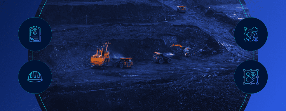
In this blog post, we detail how geospatial AI can be used in every stage of mine prospecting and exploitation. With proper capabilities in place, operators can ensure their project:
- Remains ESG compliant throughout the lifecycle
- Protects the local environment by auto-detecting signs of stressed vegetation
- Minimizes remediation costs by proactively monitoring site activities
- Avoids reputational damage by minimizing the impact of potential leaks
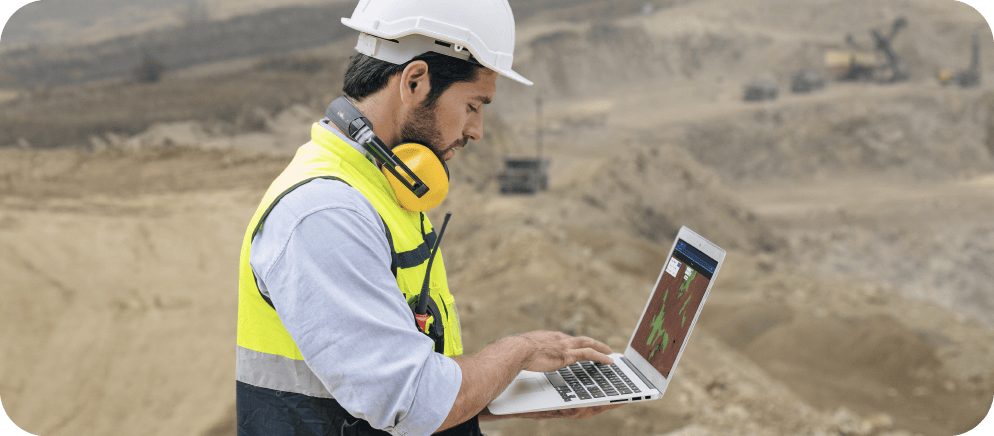
Exploration: finding a suitable location
Many things go into determining the optimal location of a new mine (but we’ll save you those details for now). Once the site has been determined, operators can obtain Earth Observation imagery (satellite or aerial) to create digital records of the site’s original state. (Even if a mine was developed prior to this technology, you can use archival satellite images dating back a few decades.) Creating a so-called provenance record is helpful in the shutdown phase to confirm that the site has been restored to its original condition.
By using a geospatial AI platform like Picterra, operators can apply machine learning models to the images to detect objects and answer key questions such as:
- Where are there environmentally sensitive areas such as marshes and other water bodies that I need to avoid and protect?
- What do the water runoff patterns look like so I know how to minimize damage in the event of a toxic leak?
- Are there enough access roads for personnel and emergency vehicles to approach the site?
- Is the site close enough to a town or village so I can recruit and house local staff?
- What vegetation damage existed prior to the mine excavation so I can protect myself from future liability?
All of these questions can be answered using machine learning models to detect objects in satellite and aerial images. In fact, we recently created a demo solution simulating the effects of an oil spill cleanup effort. Click here to take it for a spin and see the power of machine learning applied to Earth Observation imagery.

Want to learn more about how geoAI can be used in mining & quarries?
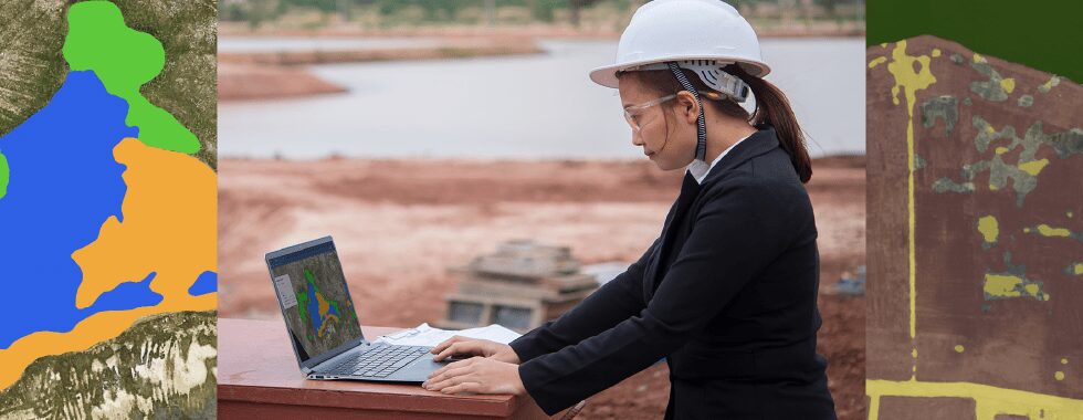
Operations: monitoring ongoing changes
During operation, mine operators are frequently required to submit periodic reports on the state of the surrounding environment. That means they need to regularly monitor what is happening on the ground, further informing the provenance record. A good way of doing this is to task a satellite or use high-resolution drones to capture images at regular intervals. You will need to dedicate manpower to review images and create annotations which is a serious time investment.
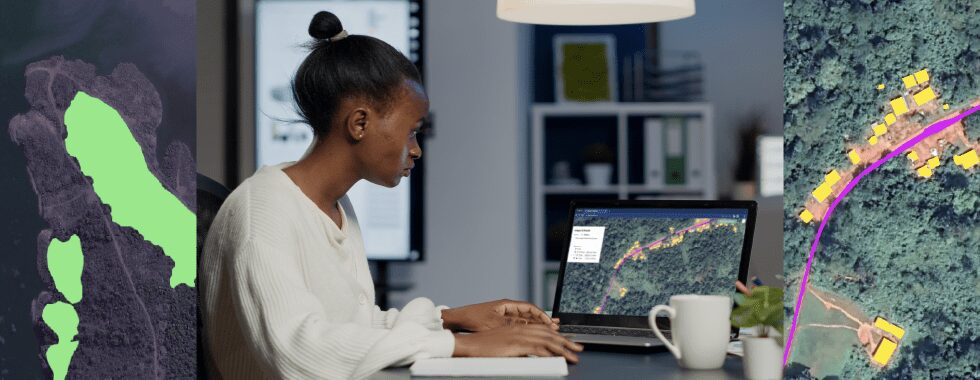
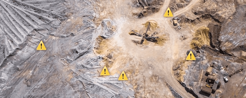
Advanced mining companies would rather invest in a geospatial AI platform to speed up the workflow and take advantage of machine learning to reduce human error. In Picterra, you can set up an automatic alert system that notifies you if significant changes take place from one image to another.
For example, if the models notice that some vegetation is deteriorating, it will alert you so your team can investigate if a leak has occurred before it causes more harm. It can also let you know if any unreported construction is encroaching on the site’s safety sphere so you can take the necessary action to protect human life. Going from a reactive to a proactive monitoring approach means you can minimize damage and save the business enormous costs in terms of clean-up efforts and reputational damage.
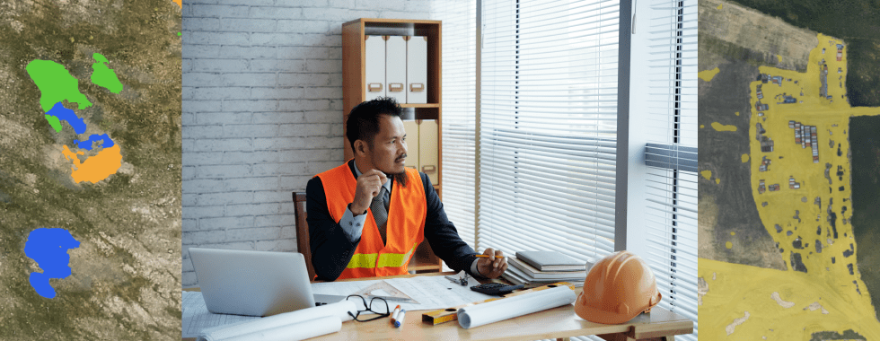
Shut down: withdrawing responsibly
Once the mine is depleted, the operator needs to restore the site to as close as possible to its original condition. This is where the provenance records come in handy. Not only for remediation but also to protect the company from unwarranted liability. Hopefully, regular monitoring helped to prevent any major environmental damage and the operator can shut down the mine without lasting damage to the surrounding ecosystem and communities.
The case for geospatial AI and machine learning in the mining industry is clear: it helps operators locate optimal sites and understand what is happening on-site from the comfort of an office. Through remote monitoring, the project can stay compliant with regulations and ESG targets and gives the company unquestionable records to back it up. It’s a win-win for both mining operators and the planet.