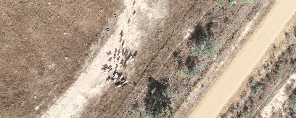
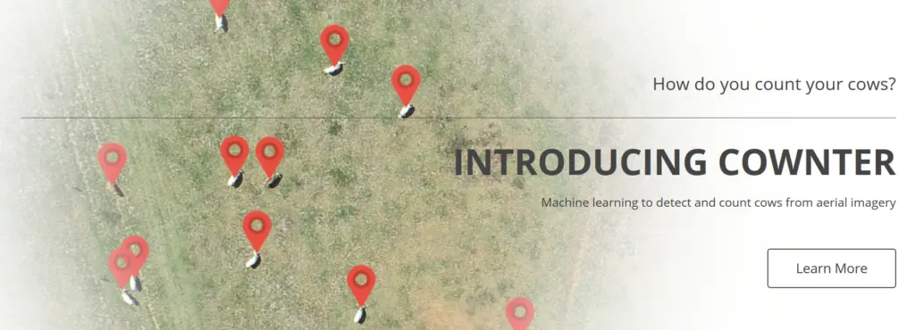

Counting a population of cows has always been a tedious and repetitive duty that can often take days if not weeks to complete. Therefore, the automation of this long process allows for more accurate and faster decision-making. With the multiple platforms available today to acquire aerial imagery, from satellite to drones, tasks as detect and count cows from aerial imagery becomes as easy as it can be.
The project “Cownter” involving FarmDoctors, Queensland Government, ManGoesMapping and Picterra, developed a detector able to localize and count cows in aerial imagery over a wide range of landscapes. Australian farms can be seen with a large range of soil types and vegetation, and within more or less rural environments. These differences have been taken into account in the training of the detector allowing a robust detection over Australian landscapes.
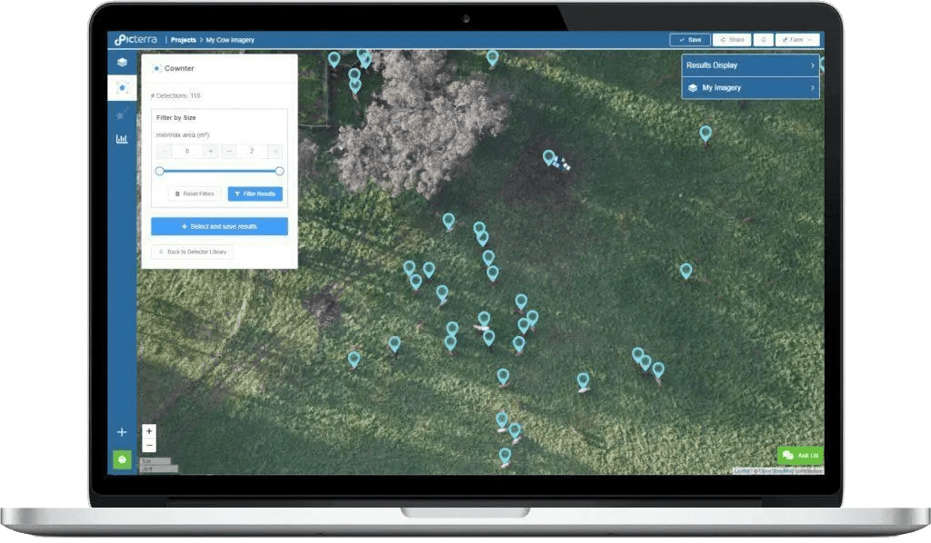
If you are a Queensland-based cattle grower or work in the cattle industry, get in touch with Farm Doctors to request access to Cownter. Moreover, you can directly try to detect animals in your images on the Picterra platform by crafting your own detectors!