Evaluating performance against Environmental, Social, and Governance (ESG) is no longer a nice-to-have. For manufacturers and public companies, it has become a requirement in the eyes of the public and regulators. However, embedding ESG targets in internal and external processes and reporting is far from being standardized. Yet investors, as well as international organizations and governments, are expecting full transparency from corporations on sustainability goals and actions.
On July 1, 2021, Picterra’s ESG expert Samantha Bilski-Madiou hosted a webinar covering the topic of ESG for sustainable plants and factories (you can watch the recording here). A mix of impact investors, sustainability professionals, and operations managers gathered to learn the latest on geospatial intelligence & ESG reporting. It was a lively presentation with several key takeaways. Let us summarize them for you here!

Geospatial intelligence and ESG reporting go hand in hand
With the availability of Earth Observation imagery, it is easy to connect geospatial intelligence to the Environmental (E) aspect of ESG. For example, analyzing satellite and drone imagery, we can:
- Monitor re- and deforestation patterns
- Identify types of crops
- Examine the presence of shadow trees to promote biodiversity
- Discover illegal logging (case study)
- Detect color changes in water bodies
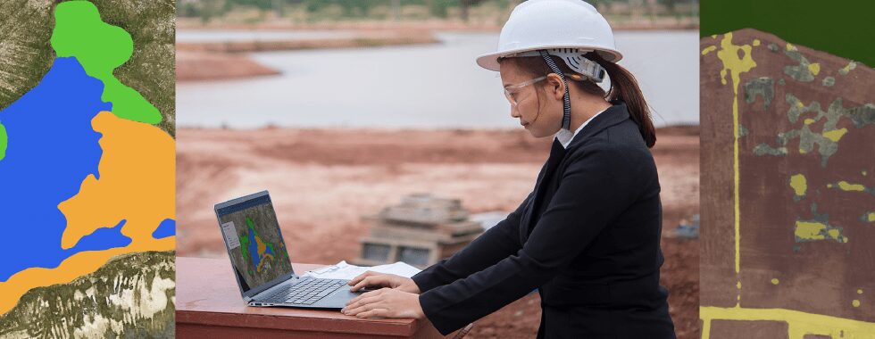
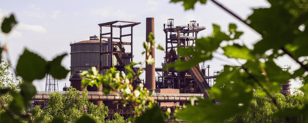
- Understand leaks and pollution from factories, plants, and mines
For example, mine operators can use geospatial AI to understand what an environment looked like before an exploration so they can restore the ecosystem upon withdrawal. It creates unquestionable digital provenance records that they can use to demonstrate their environmental commitment to watch groups and impact investors.
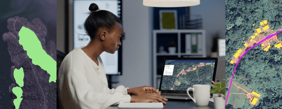
The Social (S) aspects are more intangible but no less important. As an example, some Picterra clients are using geospatial imagery to identify labor violations in their supply chain. They want to monitor farmworker conditions such as surrounding sanitary conditions, access to education facilities, and water cleanliness. All of these can be tracked with geospatial imagery and counted thanks to machine learning detectors in Picterra. If you spot a violation, for instance, you can easily take action to protect workers and comply with international labor standards and regulations. Your suppliers are held accountable, and you can have proof of any wrongdoing on site.
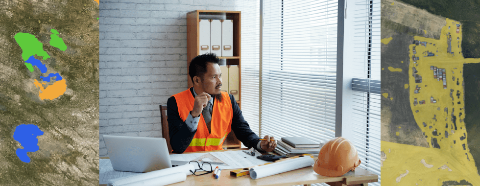
The third pillar – Governance (G) – is all about reporting and materiality of information. Many jurisdictions—through regulation or listing standards—require a certain level of ESG reporting and disclosure from companies to provide investors with material ESG-related information. And, as you may be aware, U.S. public companies will have to disclose and report on ESG to the SEC as of Q4 this year. This brings us to the topic of materiality. In fact, investors, regulators, and industry peers continue to discuss whether to adopt standards on material ESG information. Yet, they still need to create definitions and determine what is considered material.
A picture is worth a million words, especially for auditors
In fact, this is where geospatial intelligence platforms like Picterra come in. New data sources like satellite, aerial, and drone imagery can help organizations that struggle to prove their ESG initiatives. With access to insights from unquestionable imagery, they can provide accurate reports and facilitate auditing.
At Picterra, we are excited about helping clients improve their ESG reporting with help from geospatial data. In fact, we recently released two ESG demo solutions that give you a hands-on overview of the Picterra platform.