AI-powered geospatial solutions for people, purpose, and planet
Detect objects, monitor changes, and discover patterns 95% faster with Picterra
Detect objects, monitor changes, and discover patterns 95% faster
Andy Carroll
CTO & Co-Founder, Skytec
Picterra is a critical piece of Ranger, our remote monitoring app. It allows us to automate & gives us future opportunities to scale as we monitor larger areas & portfolios of AOI for clients.
Dr. Y. Palchowdhuri
Earth Observation Consultant, Cyient
Time & effort is enormously reduced when we use an automated cloud-based platform like Picterra. We can produce ready-to-use insight within hours & go into production after just 1 month, saving 60% of time.
Steve Schill
Lead Scientist, The Nature Conservancy
Given the vast amount of data we collect, we often find ourselves limited in how much we actually process. Picterra has been instrumental in helping us manage and make sense of our data more effectively.
Peter Moulton
CEO & Co-founder, Sensand
Picterra massively reduces the time it takes farmers to zone & do first-pass mapping boundaries. Farmers can simply go in & touch up what the AI model has achieved saving our consultants significant time & money.
Tobias Jäger
CTO & Founder, Waldstolz
With Picterra, we only have to train the model once on how infestation appears in satellite images. Then we can run it on imagery time & time again enabling our team to serve more clients & protect more woodland.
Alfredo Aramayo
CEO at Civis
Picterra is a solution out of the box. We were able to deliver the results the day after we started using the platform and have grown from an initial POC project over 10 hectares, when we tested the platform, to monitoring 50,000 hectares every 6 months.
unleash the full potential of your data
Revolutionizing geospatial analysis with category-leading AI technology
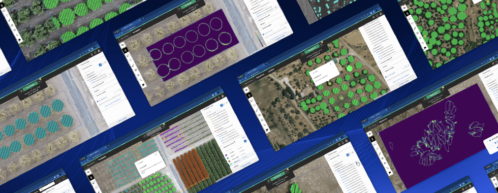
We forge the path in geospatial and machine learning enterprise software, enabling organizations to unleash the true power of AI for a wide range of use cases.
Picterra platform
The leading geospatial AI enterprise software
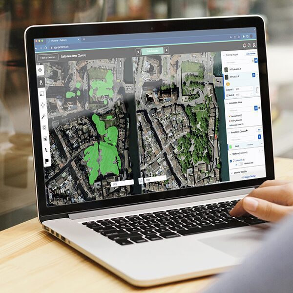
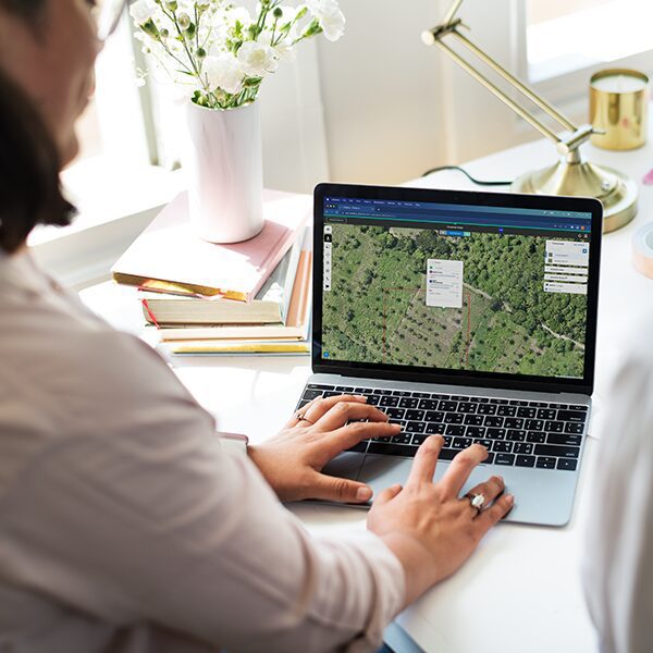
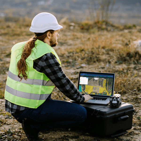
80% of geospatial AI initiatives fail. We fix that.
By revolutionizing geospatial application development and deployment, transforming a traditionally complex, multi-vendor workflow into an efficient, all-in-one geospatial analytics software.